
The State Meteorological Agency (Aemet) announces for this Wednesday light rains on the islands of greater relief, temperatures with few changes and north wind with some strong intervals on the eastern and northwestern slopes of the most mountainous islands, as well as on summits.
Regarding the state of the sea, it forecasts a northeasterly wind of force 3 or 4, 5 or 6 and occasionally 7, with swell, strong swell, and variable on the south and southwest coasts of force 2 to 4, breeze and swell.
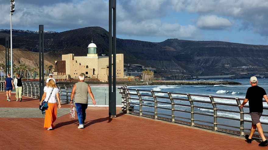
There will be a swell from the north with waves of 1 to 2 meters and occasional downpours, which will be accompanied by storms in the eastern islands.
The weather forecast is as follows:
Cloudy intervals with a probability of light and occasional rains, mainly in the north and northwest. Little changed temperatures. North component wind, with strong intervals in inland areas.
FORECAST MINIMUM AND MAXIMUM TEMPERATURES (°C): Arrecife 18 25
Cloudy intervals without ruling out light and occasional rains, mainly in the north and northwest. Little changed temperatures. North component wind.
FORECAST MINIMUM AND MAXIMUM TEMPERATURES (°C): Puerto del Rosario 19 24
In the north, cloudy skies predominate, with generally weak rains, more likely in the early and late hours. In the rest, little cloudy, with cloudy intervals in the south in central hours. Temperatures with few changes, with slight decreases in the maximum in inland areas of the north. North component wind, with intervals of strong and low probability of a locally very strong gust on the southeast and west slopes and, in the last hours, on peaks. Breezes on southern shores.
FORECAST MINIMUM AND MAXIMUM TEMPERATURES (°C): The Gran Canarian palms 19 22
In the north, cloudy skies predominate, with generally weak rains, more likely in the early and late hours. In the rest, cloudy intervals, tending during the morning to slightly cloudy skies on the eastern slope. Little changed temperatures. North component wind, with intervals of strong and low probability of a locally very strong gust on the east coast, Candelaria midlands, northwestern tip and, in the last hours, in central peaks. Breezes on southwest coasts.
MINIMUM AND MAXIMUM FORECAST TEMPERATURES (°C): Santa Cruz de Tenerife 20 25
In the north, cloudy skies predominate, with clearing opening in central hours and generally light rains, more likely in the early and late hours. In the rest, little cloudy. Little changed temperatures. North to northeast wind, with intervals of strong and low probability of a locally very strong gust on the summits and on the east and northwest slopes. Breezes on southwest coasts.
FORECAST MINIMUM AND MAXIMUM TEMPERATURES (°C): San Sebastián de la Gomera 20 24
In the north and east, cloudy intervals, with generally light rains, more likely in the northeast in the early hours and in the north in the late hours. In the rest, little cloudy in general, with intervals in interior areas in the afternoon. Little changed temperatures. Northeast wind tending north in the afternoon, with strong intervals in the extreme southeast and northwest and, in the last hours, in peaks. Breezes on west coasts.
FORECAST MINIMUM AND MAXIMUM TEMPERATURES (°C): Santa Cruz de la Palma 19 23
In the north, cloudy intervals, with opening of clearings in central hours and probability of light rains in the early and late hours. In the rest, little cloudy. Little changed temperatures. Northeast wind, with strong intervals on the southeast slope, extreme northwest and exposed peaks. Breezes on southwest coasts.
FORECAST MINIMUM AND MAXIMUM TEMPERATURES (°C): Valverde 15 20


