
The State Meteorological Agency (Aemet) does not rule out the possibility of occasional light rains on Tuesday in the northern part of Canary Islands, where the wind will continue to blow with intervals of strength and a low probability of occasional very strong gusts on exposed slopes.
Aemet expects temperatures to remain largely unchanged on the coasts and slightly decrease in inland areas, where the maximum temperatures could drop moderately.
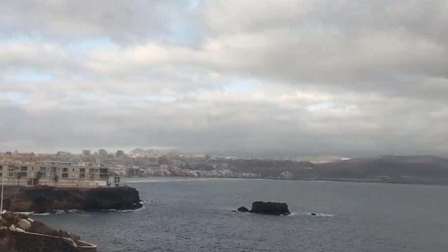
Regarding the sea conditions, the wind will blow from the north or northeast with a force of 4 to 5, increasing to force 6 in certain areas of the Canary coast. There will be rough or very rough seas, generally to the east or west of the archipelago, whereas slight swell to the south and north, as well as northern groundswell of one to two meters in height.
[–>Cloudy or overcast with some clear spells in the southern half during midday. A low chance of occasional light rains in the north. Temperatures will remain mostly unchanged. Moderate north winds with strong intervals in inland areas.
Expected minimum and maximum temperatures (°C): Arrecife 20 25
In the north, below 1300 meters, it will be cloudy or overcast with a low chance of occasional light rains, mainly in the midlands during the second half of the day. Elsewhere, it will be mostly clear or sunny with some morning intervals. Temperatures will experience minor changes on the coasts and a slight decrease in the midlands and high areas, where the drop in maximum temperatures could be moderate. Moderate north wind, which will be strong with possible very strong gusts at times on eastern and western slopes. Sea breezes will prevail on the southern coasts.
Expected minimum and maximum temperatures (°C): Santa Cruz de Tenerife 21 27
In the north, predominantly cloudy skies with a low chance of occasional drizzles, mainly in the midlands during the latter part of the day. Mostly clear elsewhere. Temperatures with minor changes on the coasts and a slight decrease in the midlands and high areas, with the maximum temperature drop potentially moderate. Moderate northeast wind with strong intervals on eastern and northwestern slopes where very strong gusts are possible. Sea breezes on the southwest coasts.
Expected minimum and maximum temperatures (°C): San Sebastián de La Gomera 20 24
In the north and east, below 1300 meters, there will be predominantly cloudy skies with a low chance of occasional drizzles in the midlands, mainly in the northeast. Elsewhere, it will be mostly clear with some cloudy intervals during midday. Temperatures will have minor changes on the coasts and a slight decrease in the midlands and high areas. Moderate northeast wind with strong intervals in the southeast and northwest extremes where the occasional very strong gust is not ruled out. Sea breezes on the west coasts.
Expected minimum and maximum temperatures (°C): Santa Cruz de La Palma 20 23
In the north, predominantly cloudy skies with a low chance of occasional drizzles in the midlands during the latter part of the day. Mostly clear elsewhere with some cloudy intervals. Temperatures will have minor changes on the coasts and a slight decrease in the midlands and high areas. Moderate northeast wind with strong intervals on eastern slopes, western extremes, and mountain tops, where occasional very strong gusts are not ruled out. Sea breezes on the southwest coasts.


. By Julio Torres Santos")


