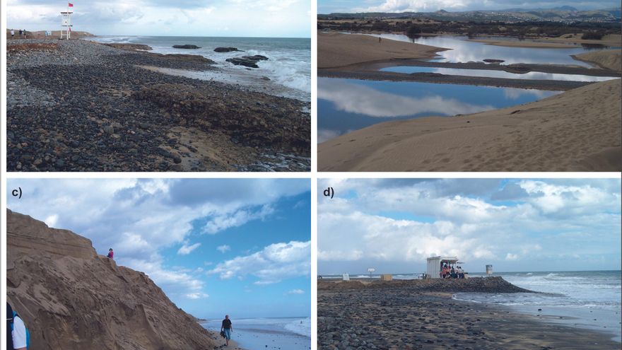
This research indicates that small island areas oriented to coastal tourism are very vulnerable to marine storms, given the fluctuation of this economic sector and the increase in its exposure due to a growing coastline.
The work is signed by the researchers Amalia Yanes Luque, José A. Rodríguez ‑ Báez, Pablo Máyer Suárez, Pedro Dorta Antequera, Abel López ‑ Díez, Jaime Díaz ‑ Pacheco and Emma Pérez ‑ Chacón, of the Department of Geography and History of the ULL and from Department of Geography of the ULPGC.
The storms between 1958 and 2017 were located in the municipalities of Arona and Adeje (southwest of Tenerife-SW) and in San Bartolomé de Tirajana and Mogán (south-southwest of Gran Canaria-S-SW) and for its analysis, wave data from State ports (SIMAR-44 nodes, Ministry of Transport, Mobility and Urban Agenda of Spain).
Areas studied
The statistical study allows to establish a threshold for identifying a marine storm from a significant wave height (Hs) of 2.7 meters in Arona and Adeje and 1.7 in San Bartolomé de Tirajana and Mogán. The application of this threshold results in 144 episodes in the southwest of Tenerife and 154 in the south-southwest of Gran Canaria, of which their behavior is examined, based, on the one hand, on the duration, seasonality, type of waves and degree of severity that characterizes them.
On the other, of the state of the atmosphere that concurs in its genesis by means of the synoptic maps of Wetterzentrale. Finally, a first assessment of the effects of these stormy phenomena through the news of the local press about drowning, damage to urban furniture and port infrastructures and loss of sand on the beaches.
This work stands out above all for its usefulness for the management of coastal areas deeply transformed by tourist activities. Its novelty lies in the identification and characterization of the extreme wave behavior in the selected tourist areas (especially with regard to their specific behavior patterns and the new application in the Canary Islands of the SPI Storm Power Index).
Thanks to the study, the thresholds from which we can speak of a maritime storm in the study areas have been determined, identifying the atmospheric causes that have generated them. Another of the key contributions has been the identification of the coastal typology and its relationship with the location of the damage caused by storms, a question that has been obtained through the consultation of various historical sources, especially the press. In addition, the knowledge of wave behavior in these coastal areas has been deepened, a key issue in a current context of climate change and global change.
This work has been published in the international scientific journal Natural Hazards (Springer) showing research work focused on all aspects of natural hazards, including prediction of catastrophic events, risk management, and the nature of precursors to natural and technological hazards. Thus, the magazine supports work related to the analysis of hazards such as atmospheric, climatic, oceanographic, storm surge, tsunamis, floods, snow, avalanches, landslides, erosion, earthquakes, volcanoes, man-made and technological, as well as risk assessment.
Currently the journal is indexed in JCR with an impact index in 2020 of 3,102 (second quartile in the category of Geosciences, multidisciplinary and also in the second quartile of water resources). Likewise, it has an impact index of 0.76 in SJR being in the first quartile of the journals cataloged as Earth and Planetary Sciences.


