
The State Meteorological Agency (Aemet) forecasts for this Saturday mainly clear skies, except in the low areas to the north of the mountainous islands which will be cloudy with some clear spells during the central hours of the day, temperatures decreasing, and trade winds.
Strong wind gusts are expected in the southeast and northwest slopes, with sea breezes prevailing on the southwest coasts of the mountainous islands.
Regarding the sea conditions, there will be north and northeast winds of force 3 or 4 or 5 and 5 or 6, rough seas, and strong swell, and variable force 1 to 3 with breezes, ruffled or slight swell on the south and southwest coasts of the islands. There will be a northerly swell with waves of 1 to 2 meters.
The island-by-island forecast is as follows:
Mainly clear to clear skies with cloudy skies prevailing in the low areas of the north. Temperatures dropping, significantly locally in midlands and southern summit slopes where temperatures could still exceed 30°C. Trade winds with intervals of strong winds and a low probability of occasional very strong gusts on the southeast and northwest slopes. Sea breezes on the southwest coasts.
EXPECTED MINIMUM AND MAXIMUM TEMPERATURES (°C):
Las Palmas de Gran Canaria 22 25
Mainly clear to clear skies with cloudy skies prevailing in the west. Minimum temperatures with few changes and maximum temperatures dropping, especially in the southeast. Occasional strong trade winds.
EXPECTED MINIMUM AND MAXIMUM TEMPERATURES (°C):
Arrecife 21 26
In the west, intervals of low clouds becoming cloudy in the early and late hours. In the rest of the areas, clear with morning intervals in the east. Temperatures dropping, especially in interior areas; temperatures could reach 30°C locally in the southeast. Occasional strong trade winds.
EXPECTED MINIMUM AND MAXIMUM TEMPERATURES (°C):
Puerto del Rosario 22 28
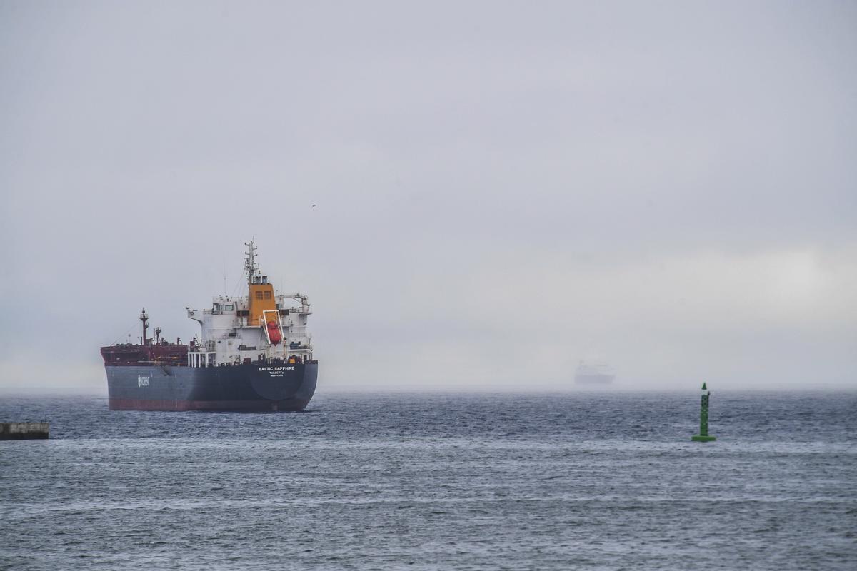
Cloudy and rainy skies for this Saturday in the Canary Islands. / Juan Castro
Mainly clear with intervals in low areas of the north. Temperatures dropping, possibly exceeding 30°C locally in east and south-facing areas. Trade winds with intervals of strong winds on the eastern slope, extreme northwest, and southern facade of the metropolitan area in the afternoon, with sea breezes on the southwest coasts. In central summits, occasional strong northwesterly winds during the second half of the day.
EXPECTED MINIMUM AND MAXIMUM TEMPERATURES (°C):
Santa Cruz de Tenerife 23 30
Clear skies with cloudy skies prevailing in the low areas of the north. Temperatures dropping, locally significant. Trade winds with intervals of strong winds on the eastern and northwestern slopes. Sea breezes on the southwest coasts.
EXPECTED MINIMUM AND MAXIMUM TEMPERATURES (°C):
San Sebastián de la Gomera 22 27
Mainly clear with intervals in low areas of the north and east. Temperatures dropping, locally significant. Trade winds with intervals of strong winds on the southeast and northwest slopes, with sea breezes on the west coasts.
EXPECTED MINIMUM AND MAXIMUM TEMPERATURES (°C):
Santa Cruz de la Palma 21 24
Mainly clear to clear with intervals in low areas to the north. Temperatures dropping, locally significant. Trade winds with intervals of strong winds on the southeast and extreme northwest slopes, with sea breezes on the southwest coasts.
EXPECTED MINIMUM AND MAXIMUM TEMPERATURES (°C):
Valverde 19 20


. By Julio Torres Santos")