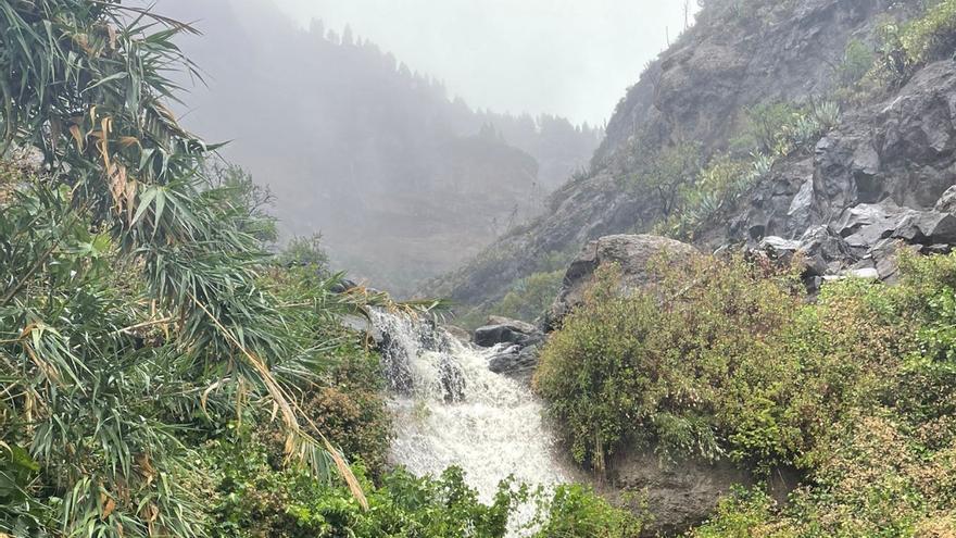
Canary Islands It has registered the wettest month of June since 1961, with 500% more rainfall and an average of 16.8 liters per square meter, and the third warmestwith an average temperature of 21.3ºC –which represents a positive thermal anomaly of 1.4ºC–, according to the Climatological Advance of the Aemet (State Meteorological Agency).
The municipality of birdin the fuerteventura islandreached the highest average temperature with 24.9ºC while Las Mercedes-Llano de los Loros, in Tenerifewas the point with the highest maximum temperature, reaching 40.8ºC.
The prevalence of high relative pressures, with little pressure gradient, on the islands, with weak flow and little cloudiness, increased insolation and, on some days, allowed the entry of flow from the east, with slight warm advection, reflects the advance of the Aemet.
On the other hand, the passage of some low pressure centers to the northwest and north of the Canary Islands generated southwest flows that also contributed to the rise in temperatures.
These situations caused, above all, that the minimum temperatures remained at relatively high values.
In addition, between the 26th and 28th a warm episode was recorded due to the presence of a high-altitude low pressure center to the west of the Canary Islands, together with relative low pressure centers over the area of the African continent closest to the archipelago and to the same Over time, the position of the Atlantic anticyclone, centered to the west of Galicia, generated an easterly flow on the surface and at medium levels, with warm advection and the entry of haze.
The Aemet specifies that warnings were issued due to adverse meteorological phenomena (maximum temperatures) for almost all areas, except The Palm and The ironreaching orange level in Gran Canaria (except summits) and in Fuerteventura, although the episode did not meet the criteria to be classified as a ‘heat wave’.
It also details that from day 4 the position of the Atlantic anticyclone, to the west of the British Isles, as well as the low baric gradient on the islands, allowed a group of low pressure centers to approach the Canary Islands that, during days 4 and 5, they tended to unify in a single system baptized as storm ‘Óscar’.
The subtropical jet, passing over the archipelago and establishing a southeasterly flow, increased the contribution of humidity in an “exceptional” episode in the Canary Islands during a month of June.


