
The General Directorate of Security and Emergencies of the Government of the Canary Islands has updated the warning for coastal phenomena in the Archipelago and the alert has gone to pre-alert at 1:00 p.m. this Wednesday.
The new pre-alert situation affects the islands of Gran Canaria (east, south and west), The Palm, La Gomera, The iron and Tenerife (north, east, south and west).
the wind blows with very strong gusts from the north to the northeast of force 7 (from 50 to 61 kilometers per hour)on the west and southeast coasts of Gran Canaria, northwest and southeast of La Palma, north, east and west of El Hierro, northwest and southeast of Tenerife and south of the Anaga-Canal.Agaete. very strong streaks
The alert for coastal phenomena that the Government of Canary Islands It was in force on the east, south and west coasts of the islands of Tenerife and Gran Canaria.
Weather by islands for Thursday in the Canary Islands
Temperatures could reach 32º C this Thursday in the inland areas of the southwest of Gran Canaria and 30º C in the southeast of Tenerife and Fuerteventura on a day in which clear skies and high haze will predominate, according to the Meteorology Statal Agency (Aemet).
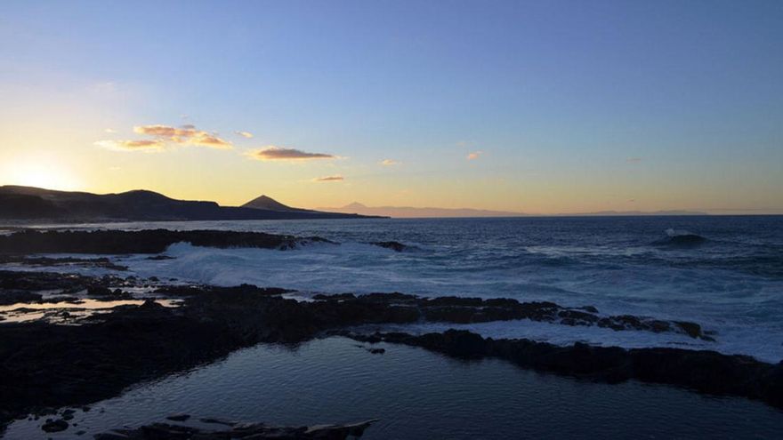
In the sea there will be, on the northwest and southeast coast, northeast 5 to 7 and strong swell, locally thick offshore. On the north and northeast coast, northeast 3 to 5 and marejadilla or marejada. On the west coast, variable 1 to 4 with breezes and ripples or swells. Swell from the north of 2 to 3 meters.
LANZAROTE
Slightly cloudy or clear, without ruling out the presence of light haze in height. Minimum temperatures with few changes, the maximum in slight decrease. Moderate to strong northeasterly wind, with little probability of occasional very strong gusts in inland and southern areas, more likely during the night hours.
FORECAST MINIMUM AND MAXIMUM TEMPERATURES (°C):
Reef 19 26
Fuerteventura
Slightly cloudy or clear, without ruling out the presence of light haze in height. Minimum temperatures with few changes, the maximum in slight decrease, more pronounced on the west slope. It could reach 30 ºC in the interior southeast. Moderate to strong northeasterly wind, with little probability of occasional very strong gusts in inland and southern areas, more likely during the night hours.
FORECAST MINIMUM AND MAXIMUM TEMPERATURES (°C):
Port of Rosario 18 26
GRAND CANARY
Predominance of slightly cloudy or clear skies, with intervals on the northern coast in the early and late hours, and without ruling out a slight haze in height. Minimum temperatures with few changes, the maximum in slight decrease, more pronounced in interior areas. 32 ºC could still be reached locally in areas of the interior southwest. Moderate to strong northeast wind, with probable very strong gusts on the southeast and northwest slopes, especially in the last hours. In summits, moderate northeast wind.
FORECAST MINIMUM AND MAXIMUM TEMPERATURES (°C):
The Gran Canarian palms 20 24
TENERIFE
Predominance of slightly cloudy or clear skies, with intervals on the northern coast in the early and late hours, and without ruling out a slight haze in height. Temperatures with little change, could still reach 30ºC in the interior southeast. Moderate to strong northeast wind, with probable very strong gusts on the southeast and northwest slopes, especially in the last hours. In summits, moderate easterly wind and, in high peaks during the early morning, from the south and occasionally strong, subsiding the rest of the day.
FORECAST MINIMUM AND MAXIMUM TEMPERATURES (°C):
Santa Cruz de Tenerife 20 26
LA GOMERA
Predominance of slightly cloudy or clear skies, with intervals on the northern coast in the early and late hours, and without ruling out a slight haze in height. Little changed temperatures. Moderate to strong northeast wind, with probable very strong gusts on the east and west slopes, especially in the last hours. In summits, moderate northeast wind.
FORECAST MINIMUM AND MAXIMUM TEMPERATURES (°C):
San Sebastian de La Gomera 20 25
THE PALM
Predominance of slightly cloudy or clear skies, with intervals on the north and east coast in the early and late hours, and without ruling out a slight haze in height. Little changed temperatures. Moderate to strong northeast wind, with probable very strong gusts on the northwest and southeast slopes, especially in the last hours. At the peaks, a moderate northeasterly wind, except during the early hours of the day when the wind will be moderate to strong and an occasional very strong gust cannot be ruled out.
FORECAST MINIMUM AND MAXIMUM TEMPERATURES (°C):
Santa Cruz de La Palma 19 27
THE IRON
Predominance of slightly cloudy or clear skies, with intervals on the northern coast in the early and late hours, and without ruling out a slight haze in height. Little changed temperatures. Moderate to strong northeast wind, with probable very strong gusts on the east and west slopes, especially in the last hours. In summits, moderate east wind.
FORECAST MINIMUM AND MAXIMUM TEMPERATURES (°C):
Valverde 18 22


