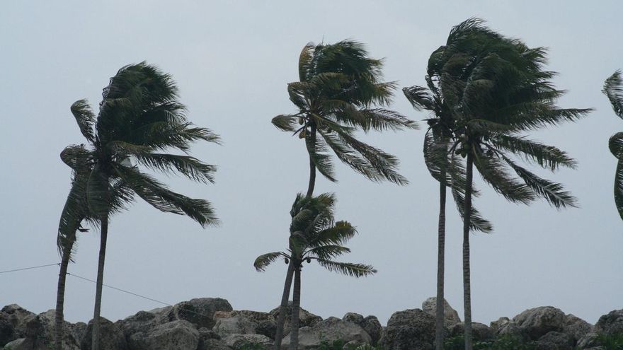
The State Meteorology Agency (Aemet) anticipates that this Wednesday, the Alisio wind will blow, with intervals of strong and potentially very strong gusts, particularly along the southeast and northwest slopes of the mountainous islands in the Canary Islands.
In the skies, there will be cloud cover with clear breaks during the central hours in the north of the Islands, while other areas will experience mostly clear skies.
In the sea, winds will be from the northeast at force 4 or 5, possibly increasing to force 6, especially along the southeast coast and northwest of the mountainous islands, as well as on the east and west of Lanzarote and Fuerteventura. There may be rough seas or significant swells in the eastern province and Tenerife, with slight waves in the remainder, along with sea conditions in the north reaching one to two metres in height.
This is the weather forecast for the islands this Wednesday:
Lanzarote
Generally clear, apart from the north at the beginning and end of the day when cloudiness will be more prevalent. High clouds can be expected at dawn. Temperatures will see little change. Alisio with strong intervals.
Forecast minimum and maximum temperatures (°C): Reef 18 26
Fuerteventura
In the north and west, there will be cloudy intervals becoming clearer during the central hours. In other regions, it will be mostly clear with some high clouds at dawn. Temperatures will show little variation, with slight increases in maximums inland and in the east. Alisio with strong intervals.
Forecast minimum and maximum temperatures (°C): Puerto del Rosario 19 25
Gran Canaria
In the north, cloudy conditions will dominate with clear breaks during the afternoon. Other areas will experience mostly clear skies. Temperatures are expected to change little, aside from minor increases in maximums in the South Cums and Medianías. Alisio will have intervals of strong and possibly very strong gusts in the southeast and northwest slopes, with predominating breezes along the southwest coasts.
Forecast minimum and maximum temperatures (°C): Las Palmas de Gran Canaria 20 24
Tenerife
Generally clear but with predominant cloudiness in the north. Temperatures will see little variation. Alisio with intervals of strong and likely very strong occasional gusts in the southeast slope and northwest end, predominantly breezes over the western coast; in the central summits, gentle winds from the west.
Forecast minimum and maximum temperatures (°C): Santa Cruz de Tenerife 19 25
La Gomera
Generally clear, except in the north where cloud cover will prevail. Temperatures will experience minor changes. Alisio with intervals of strong and possibly very strong occasional gusts in the southeast and northwest slopes, with prevailing breezes along the southwest coasts.
Forecast minimum and maximum temperatures (°C): San Sebastián de la Gomera 19 25
La Palma
In the north and east, there will be predominant cloud cover, with the possibility of light drizzle in the northeast during early hours. Other areas are expected to be mostly clear. Little change in temperatures is anticipated, apart from slight increases in minimums in the summits. Alisio with intervals of strong and possibly very strong occasional gusts in the southeast and northwest slopes, as well as in the El Paso area during the early and latter hours. Breezy conditions are expected along the western coast.
Forecast minimum and maximum temperatures (°C): Santa Cruz de la Palma 19 24
El Hierro
Mostly clear, except in the north where clouds will dominate. Temperatures will remain fairly stable. Alisio with intervals of strong and likely very strong occasional gusts in the southeast and northwest slopes, with prevailing breezes along the southwest coasts; in the summits, wind from an easterly direction.
Forecast minimum and maximum temperatures (°C): Valverde 14 20


