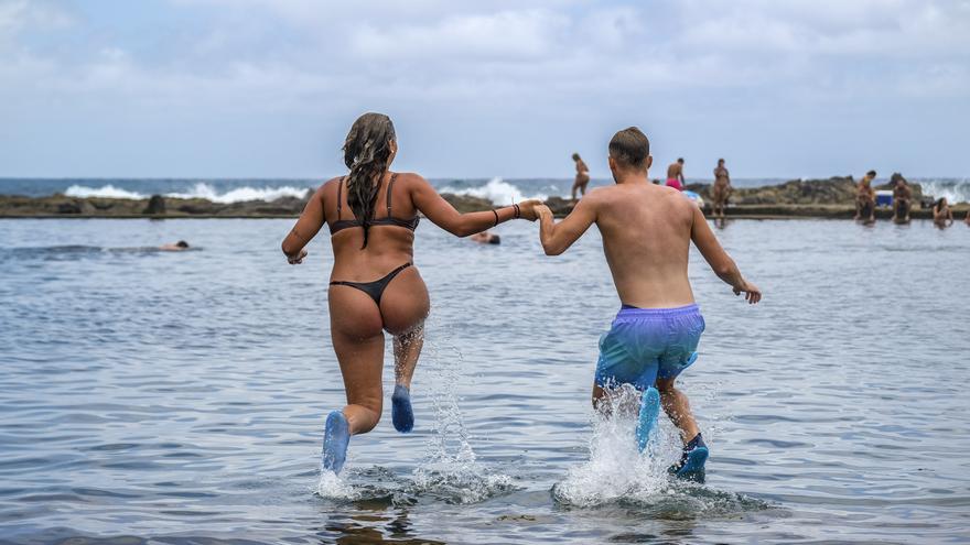
This week the Canary Islands are facing a powerful episode of heat, the second this summer, in which, according to the predictions of the State Meteorological Agency, it could easily exceed 40 degrees Celsius, especially on the southern slopes of the gran canaria islandand that starts from this Monday, with values of up to 34.7 degrees in the village payment of appraise youmaximum of the Archipelago, followed by the town of Tunte, in the municipality of San Bartolome de Tirajana, with 34.5 degrees; and the village of Agüimeswith 32.6 degrees Celsius.
To this is added significant wind speeds, with a regime of trade winds whose gusts on the most exposed slopes reached 82 kilometers per hour, as occurred in The Village of San NicolásAlso in the early afternoon. To these meteors we must add the presence of high altitude haze, although at no time during the day were the particle indices recommended by the World Health Organization exceeded, with PM10 particles remaining below 40 micrograms per cubic meter of air. air in the islands of the eastern province, the most affected by the dust in suspension.
These temperatures are the basis on which the records will increase from the next few days, with the hottest day of this second episode of heat expected for Thursday.
Thus, for this Tuesday, always according to the state agency, yellow notices are already activated starting at ten in the morning on the islands of Gran Canaria and Tenerife due to high temperatures and coastal phenomena, and in Fuerteventura only for high temperatures.
Specifically, the Aemet details that it could reach 36 degrees Celsius in the midlands of the south of Gran Canaria, and 34 in the south of Tenerife, as well as in some areas of the interior of Fuerteventura, although in the northern half temperatures will experience few changes, with values between 22 and 26 degrees in The Gran Canarian palmsand between 23 and 30 degrees Celsius in Santa Cruz de Tenerife.
The skies in the lower levels of the islands of greater relief will dawn with cloudy intervals, to gradually clear from noon, and clear in the rest, with the presence of a slight haze in the middle and high levels of the islands of the province oriental, as well as in Tenerife.
For Wednesday, Aemet paints the time slot between ten in the morning and seven in the evening in orange on the peaks of Gran Canaria, as well as on its eastern, southern and western slopes, since it expects temperatures to exceed these areas 37 degrees Celsius. In the rest of the Canary archipelago The yellow warning for heat will be in force, adding that of bad seas in the islands of Tenerife, The iron, The Palm and Gran Canaria.
It will be a day with little cloudy skies in the afternoon in the eastern islands and Tenerife, clear in the rest, and with a haze that will spread throughout the Autonomous Community, to which is added a wind that will blow moderately from the northeast, with strong intervals on the southeast and northwest slopes, with the probability of locally very strong gusts.
This will lead to a Thursday, which in principle will be the hottest of the week, in which both the minimum and maximum temperatures “will be significantly high”, according to Aemet, seasoned by a haze that will affect above all the south-facing midlands. south and highlands.
In addition, the formation of evolving clouds in the interior of Gran Canaria is not ruled out, as well as winds with very strong intervals on the summits.


