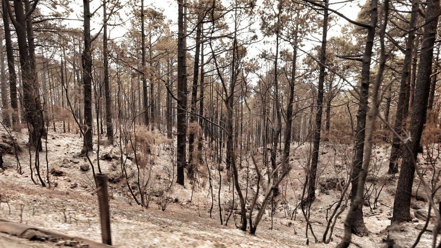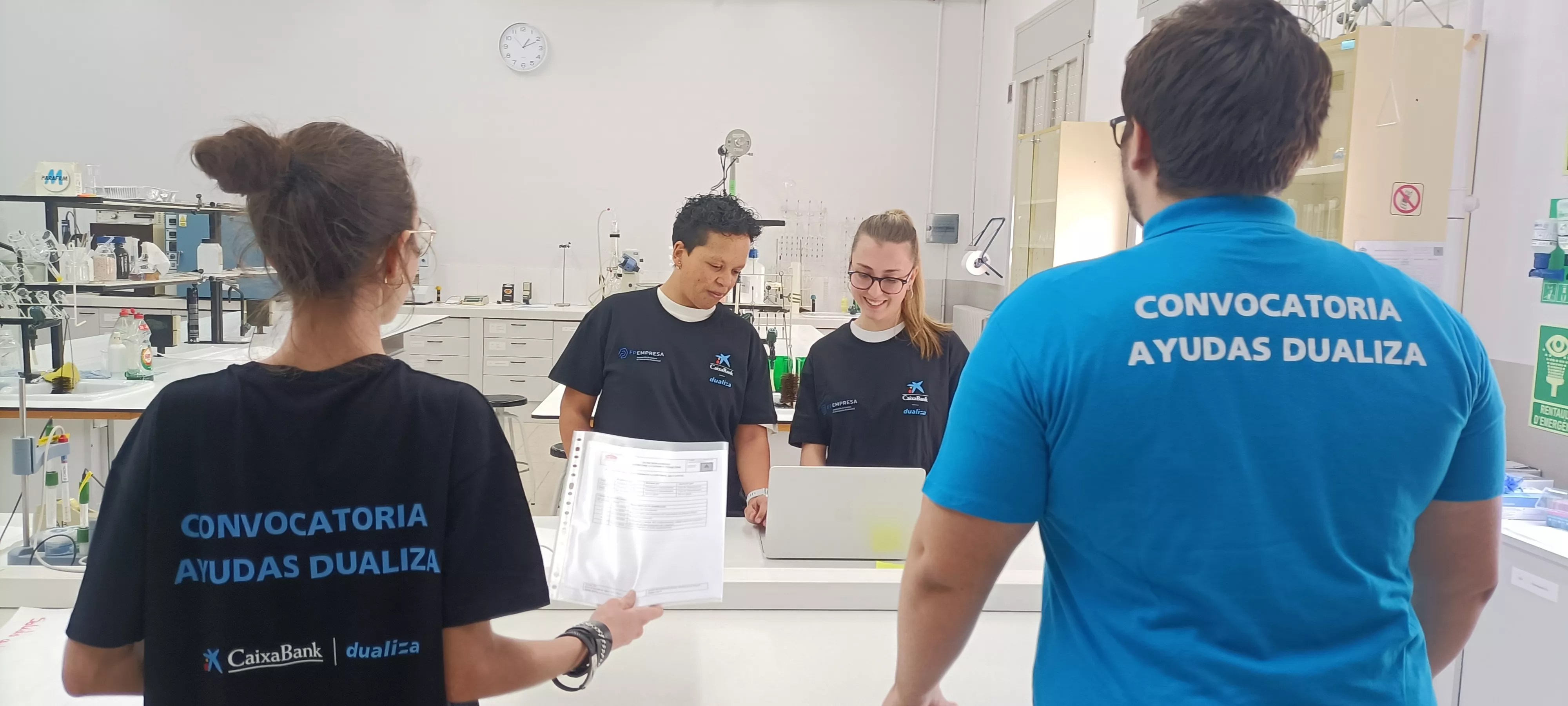
A task reminiscent of the finest forensic investigation found in a crime scene – as depicted in popular television series – this time aims to identify the properties affected by the devastating forest fire during the summer of 2023 in Tenerife and their respective owners. This is the aim of the agreement established between the Island Council and the Tax Consortium, one of its associated entities, worth €136,000, dedicated to updating the records of these plots and commencing the restoration of the agricultural systems damaged by the fire. The General Directorate of the Cadastre, a national organisation with the relevant authority, will provide the necessary resources, in collaboration with the insular Consortium.
The comprehensive cadastral review seeks to gather data regarding the delineation, identification, and ownership of the plots to ultimately achieve the restoration of agrarian systems.
The work undertaken by the Consortium, equipped with the necessary tools for the task, unfolds in seven phases. The first involves compiling existing information before execution, followed by the proposal for cadastral reflection in the public domain, culminating in the uploading of the parcels.
The next step focuses on conducting required actions to ensure a complete agreement between the cadastral mapping and the information gathered. Plans are in place to host informational meetings and utilise various means of communication to reach citizens who may be affected. Each municipality will establish a dedicated space for in-person inquiries from its residents.
The final two tasks involve processing cadastral records and providing guidance on addressing potential appeals and objections.
About the Incident
Between August 15 and November 10, 2023, a significant forest fire swept through Tenerife, scorching an area of nearly 15,000 hectares and impacting twelve municipalities: Arafo, Candelaria, El Rosario, Güimar, El Sauzal, La Matanza, La Orotava, La Victoria, Los Realejos, Santa Úrsula, Tacoronte, and Fasnia. This fire notably affected the urban-forest interface populated by ancient agrosystems of chestnut trees, temperate fruit trees, and dryland orchards of immense ecological importance, making the recovery of these damaged areas “urgently and critically necessary.”
The Plan
The Cabildo actively promotes this strategy for the recovery and rehabilitation of the charred land. To achieve this, securing cadastral data is of utmost importance, specifically the accurate delineation and size of the plots, along with the identification of the current proprietors of these properties.
The Resource
The Insular Tax Consortium operates as a legal entity with its own legal identity, affiliated with the public sector of the Cabildo de Tenerife. This organisation encompasses 33 municipalities within the province. In 2019, the Consortium entered into a collaboration agreement with the General Directorate of Cadastre concerning cadastral management. This national body collaborates through the commercial real estate asset management company (SEGIPSA). Within this framework, the A-FINCA project emerged, an initiative designed to assist landowners in accurately identifying their properties as the Cadastre conducts visits to municipalities. The goal is to equip rural areas with essential legal security.
This model has been well received in various locations where it has been implemented nationwide. Once the lands are properly registered, they can be leased, sold, purchased, or transferred, among other actions. This system will now extend to the agricultural plots affected by the 2023 fire. The General Directorate of Cadastre possesses the sole authority, resources, and expertise required for conducting cadastral updates. Thus, a collaboration agreement with the Island’s Tax Consortium was proposed as a solution, following the structure of the A-FINCA project.
The Assessment
Juan José Martínez, the Cabildo of Tenerife’s councillor responsible for the Tax Consortium, clarifies that this entity “facilitates the advancement of collaborative initiatives with other public bodies.” He emphasises that “through this agreement, we aim to clarify the properties impacted by the significant fire of 2023, identify the owners, and ensure legal certainty, allowing us to continue the recovery efforts for the affected agricultural systems and mountainous areas.” This is indeed a genuine CSI endeavour.
Access to Burnt Forest Areas is Forbidden
The Cabildo of Tenerife reiterates the prohibition of entering areas impacted by the 2023 fire while alert or pre-alert conditions are in effect due to the danger posed by falling trees and landslides.
The insular area of Natural Environment and Security underscores the significance of refraining from accessing restricted areas affected by last year’s major forest fire, which includes the slopes of Tigaiga and Santa Úrsula, as well as other regions with the presence of radiata or Californian pine, introduced in the 1950s for reforesting efforts and significantly affected in the central regions of La Orotava Valley, the Pista El Rayo between La Victoria and Santa Úrsula, the El Rincón al Rayo track, and the Hoya del Abade recreational area. Additionally, the public is urged to exercise extreme caution in mountain areas open to traffic and to refrain from igniting fires outside designated areas.
Subscribe to continue reading


