
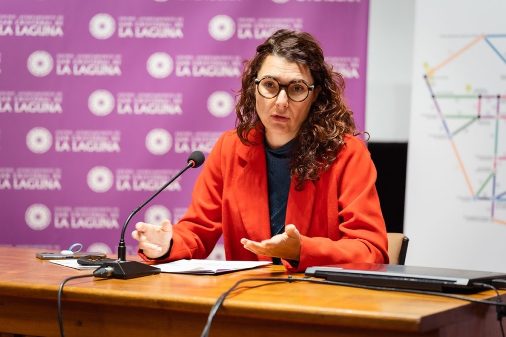
The Department of Sustainable Mobility of the City Council of La Laguna, directed by María José Roca, yesterday presented the first Metrominute of the lagoon, a synoptic map that collects distances and walking times between the main points of the town, such as different public services, public transport stops, city centers or parks, with the visual codes of metro maps.
“We are the first municipality in the Canary Islands to launch this initiative, which we can carry out thanks to our integration into the Network of Walking Cities, an international non-profit association open to public administrations committed to giving back prominence to pedestrians. in urban spaces”, highlighted the councillor.
La Laguna thus joins an initiative that already includes more than 60 locations throughout the country, such as Pontevedra (which was the creator of this format), Bilbao, Valencia, Seville or Palma de Mallorca, and also from other countries Europe, such as London, Toulouse or Florence.
Therefore, “we are talking about a format that is recognizable by many of the people who visit us and that is going to be an important complement to our tourist promotion, a way of inviting people to get to know the center on foot, in a more sustainable and healthy way, and a new starting point to discover, in addition, our commerce, gastronomy and culture”, said Roca.
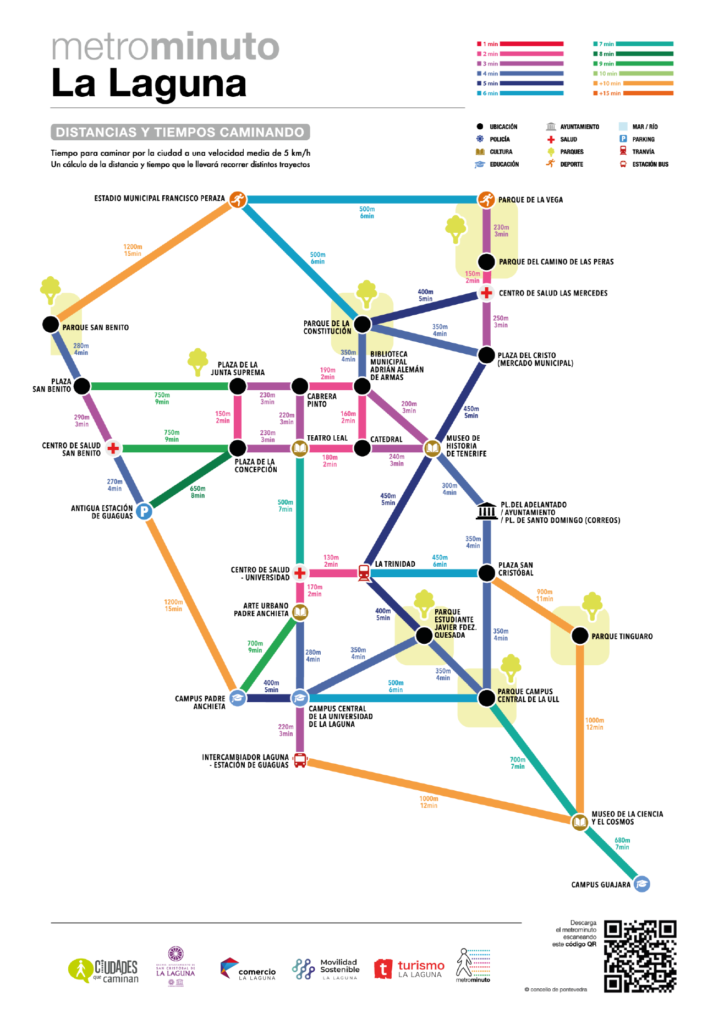
The average pedestrian can assume distances that do not exceed half an hour of travel, so that, although connections on foot of more than 5 kilometers are possible, it would not be realistic to include greater travel in a tool that aims to encourage and predispose the citizen to the walking distances between the main points of interest are affordable and encourage them to walk.
For this reason, for this first Metrominute, its radius of action has been limited to 5 kilometers from the historic center and center of La Laguna, the densest and most compact of the areas of the municipality, so that this map is effectively a tool that promotes and achieve your goal.
With this initiative, “we want to show that the main attractions of the center and many of the needs of daily life can be solved in journeys of ten or fifteen minutes on foot. Even more so in the area that we have included, which facilitates the walk not only because of the commitment to pedestrianization, but also because it is one of the flattest spaces on the Island”, recalled María José Roca.
When dealing with short distances and short times, experience in other cities shows that, with this visualization, users are better predisposed to walk to their destination, thus promoting pedestrian movement that, after all, represents the way of more sustainable transport.
More measures
In the commitment to sustainable mobility in the municipality, the councilor stressed that “we are already in the final stretch to award the drafting of the Sustainable Urban Mobility Plan for La Laguna and we are working on new tactical urban planning actions, the participatory design of the improvement of school environments and the pedestrian space around public areas, such as health centers, interchanges or parks”.


