The State Meteorological Agency (Aemet) predicts cloudy skies in the northern part of the islands, with some light rainfall during the night, a possible increase in maximum temperatures in the summits, and moderate winds from the northeast, which will be strong in the southeast and northwest slopes of the central islands.
Regarding sea conditions, it forecasts northeasterly winds of force 4 to 6, locally reaching 7, rough seas or strong rough seas, and variable force 1 to 3 on the west and southwest coasts of the islands with breezes and rippling sea. There will be a north swell with waves from 1 to 2 meters.
The island-by-island forecast is as follows:
GRAN CANARIA
Cloudy skies in the north and northeast turning into partly cloudy during midday hours, with the possibility of some light and occasional precipitation during the early morning and late evening. In other areas, mostly clear or sunny. Temperatures with few changes, with a slight increase in maximum temperatures in the southern interior and high areas. Moderate northeast winds, strong in the extreme west and southeast slopes, where very strong gusts are possible, mainly in the second half of the day. Prevailing breezes on the southwest coasts.
FORECASTED MINIMUM AND MAXIMUM TEMPERATURES (°C):
Las Palmas de Gran Canaria 20 23

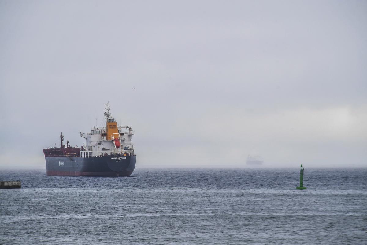
Expect cloudy skies this weekend in the Canary Islands. / Juan Castro


