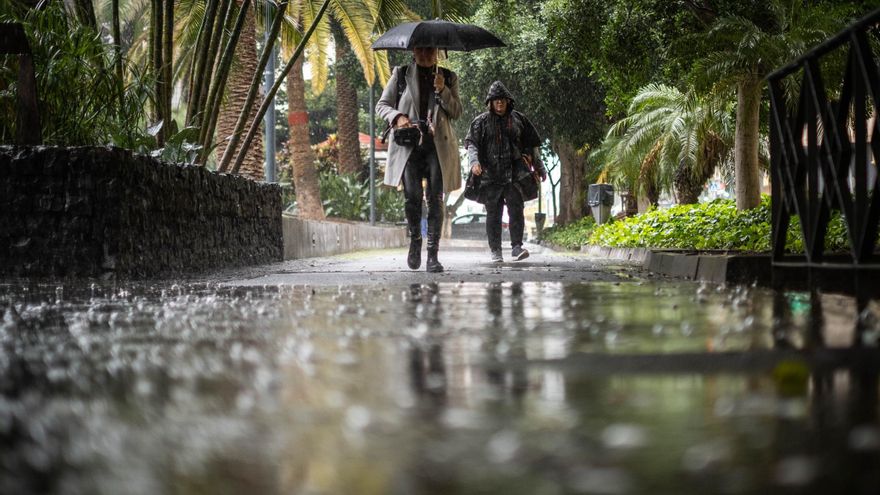
The cloudy skies and light and occasional rains will predominate this Thursday in Canary Islandsaccording to Aemet.
In the sea there will be northeast 4 or 5 increasing to 5 or 6. Swell increasing during the afternoon to strong swell. North or northwest swell of 2 meters. On the west coast, variable 2 or 3 and swell. occasional downpours.
This Thursday the northeast episode will continue with strong intervals, especially during the early morning and at the end of the day, with Probable gusts above 60 kilometers per hour in the middle of the islands of greater relief in the areas usually exposed to the trade winds. The wind will be more intense in the summits, with medium strong winds and gusts of over 70 kilometers per hour throughout the day, intense in the highest areas of the summits of Tenerife.
FORECAST BY ISLANDS FOR THIS THURSDAY:
TENERIFE
Skies in general cloudy or covered and cloudy intervals on the southwest slope. Probable weak to moderate rainfall that may be persistent in the northeast, especially during the afternoon. In the southwest, rainfall will be less likely and generally weak and occasional. Temperatures with few changes, with some slight decrease in the maximum in the northern midlands. Moderate northeast wind with strong intervals in the extreme northwest and on the southeast slope, especially during the early morning and at the end of the day, when gusts exceeding 60 km/h are not ruled out. From the northeast, strong, with very strong intervals, on peaks, where occasionally it could exceed a gust of 70 km/h.
FORECAST MINIMUM AND MAXIMUM TEMPERATURES (°C):
Santa Cruz de Tenerife 17 22
LA GOMERA
In the cloudy or covered north, cloudy intervals in the rest of the areas. Probability of generally weak and occasional rainfall, although without ruling out that it may be locally moderate in the northern half. Little changed temperatures. Moderate northeast wind with strong intervals in the extreme northwest, especially during the early morning and at the end of the day, when gusts exceeding 60 km/h are not ruled out. From the northeast strong, with intervals of very strong, in peaks, where occasionally a gust could exceed 70 km/h.
FORECAST MINIMUM AND MAXIMUM TEMPERATURES (°C):
San Sebastian de La Gomera 17 23
THE PALM
Skies in general cloudy or covered mainly in the north and east, with some clearings on the west slope. Light to moderate precipitation in the north and east and possibly in the northeast could be persistent. In the rest of the areas, rainfall is less likely and generally weak and occasional. Unchanged temperatures. Moderate northeast wind with strong intervals in the extreme northwest and on the southeast slope, especially during the early morning and at the end of the day, when gusts exceeding 60 km/h are not ruled out. From the northeast strong, with intervals of very strong, in peaks and in the El Paso area, where occasionally a gust could exceed 70 km/h.
FORECAST MINIMUM AND MAXIMUM TEMPERATURES (°C):
Santa Cruz de La Palma 17 21
THE IRON
Cloudy in the north, cloudy intervals in the rest. Probability of generally weak precipitation that could be locally moderate in the north. Little changed temperatures. Moderate northeast wind with strong intervals on the north and southeast slopes, especially during the early morning and at the end of the day, when gusts exceeding 60 km/h are not ruled out. From the northeast strong, with intervals of very strong, in peaks, where occasionally a gust could exceed 70 km/h.
FORECAST MINIMUM AND MAXIMUM TEMPERATURES (°C):
Valverde 14 18
LANZAROTE
Cloudy skies tending to cloudy intervals during the central hours. Probable rainfall, generally weak and occasional, especially in the north. Little changed temperatures. Northeast wind, more intense in inland areas in the second half of the day.
FORECAST MINIMUM AND MAXIMUM TEMPERATURES (°C):
reef 16 22
Fuerteventura
Cloudy in the north and east, cloudy intervals in the rest. Probable weak and occasional precipitation, especially in the north and east coast in the first half of the day, without ruling out other areas. Little changed temperatures. Northeast wind, more intense in inland areas and to the south of the Jandía Peninsula in the second half of the day.
FORECAST MINIMUM AND MAXIMUM TEMPERATURES (°C):
Puerto del Rosario 17 22
GRAND CANARY
Skies in general cloudy or covered and cloudy intervals on the southwest slope. Probable weak to moderate rainfall that may be persistent in the northeast, especially during the afternoon. In the southwest, rainfall will be less likely and generally weak and occasional. Temperatures with few changes, with some slight decrease in the maximum in the northern midlands. Moderate northeast wind with strong intervals in the extreme northwest and on the southeast slope, especially during the early morning and at the end of the day, when gusts exceeding 60 km/h are not ruled out. From the northeast, strong, with very strong intervals, on peaks, where occasionally it could exceed a gust of 70 km/h.
FORECAST MINIMUM AND MAXIMUM TEMPERATURES (°C):
Las Palmas de Gran Canaria 17 22


