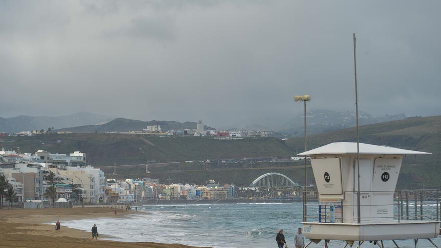
Cloudy intervals with a tendency to cloudy from noon on the islands of greater relief, according to the forecast of the Meteorology Statal Agency (Aemet) for this Saturday, December 3.
precipitation that it could be moderate and in the form of showers on the eastern slopes of The Palm, Tenerife Y Gran Canariamore likely after noon.
In a weak and dispersed way, they could also occur on the northern slopes of the islands of greater relief during the morning and in Lanzarote Y Fuerteventura in the afternoon, without discarding in the rest of the territory.
Temperatures in slight to moderate decreasemore pronounced in the maximums in the summits of the islands of greater relief. North component wind during the first half of the day, tending to loose of variable direction during the second. In peaks, from weak to moderate with a predominance of the west, more intense in high peaks of La Palma and Tenerife, where strong intervals are not ruled out.
In the sea there will be a north to northeast component, force 4 or 5, subsiding at 2 to 4 in the morning on the west coast. North to northwest strength 4 or 5 abating at 2 to 4 am on the north and east coasts. Strong swell on the north and east coasts and swell on the rest. On southern coasts, variable 1 to 3 and rippled or tidal wave. Showers.
The weather forecast by islands for this Saturday is as follows:
WEATHER IN LANZAROTE
Cloudy intervals with opening of some clearings during the morning and tending to cloudy skies at the end of the day. Probable precipitation in general weak and scattered, with greater probability on the eastern slope in the second half of the day. Maximum temperatures with few changes and minimums with a slight decrease. Northwest wind at dawn that will tend to loose from the early hours of variable direction.
FORECAST MINIMUM AND MAXIMUM TEMPERATURES (°C):
reef 16 22
WEATHER IN FUERTEVENTURA
Cloudy intervals with opening of some clearings in the central hours. Probable precipitation in general weak and scattered, with greater probability in the second half of the day. Temperatures with few changes or a slight decrease. Northwest wind at dawn that will tend to loose from the early hours of variable direction.
FORECAST MINIMUM AND MAXIMUM TEMPERATURES (°C):
Puerto del Rosario 17 22
WEATHER IN GRAN CANARIA
Skies in general cloudy, with opening of some clearings in the southwest in the central hours of the day. In the northern half, generally weak and occasional rainfall, mainly in the first half of the day and at the end, which could be locally moderate. On the southeast slope, probable rainfall in the afternoon, and may be in the form of a shower. Temperatures with few changes or a slight decrease. Light wind of variable direction somewhat more intense in summits at the end of the day with a predominance of the western component.
Las Palmas de Gran Canaria 18 22
WEATHER IN TENERIFE
Skies in general cloudy or covered, with opening of some clearings in the southwest in the central hours of the day. In the northern half and in the extreme south, generally weak and occasional rainfall, mainly in the first half of the day and at the end, which could be locally moderate. On the southeastern slope, moderate rainfall in the afternoon, which may be in the form of a shower. Temperatures with few changes or a slight decrease, which will be more pronounced in the maximum in central summits. Moderate to light north component wind, more intense in the early hours of the morning in the extreme northwest and northeast, tending from early morning to light in a variable direction. In central summits the western component will predominate with very strong intervals at the end of the day.
FORECAST MINIMUM AND MAXIMUM TEMPERATURES (°C):
Santa Cruz de Tenerife 17 22
WEATHER ON LA GOMERA
Skies generally cloudy. In the north, generally weak and occasional precipitation, mainly in the first half of the day and at the end, which could be locally moderate. In the southern half, probable rainfall in the afternoon, and may be in the form of a shower. Temperatures with few changes or a slight decrease. Wind from the north component at dawn that will tend from the early hours of the day to a weak variable direction somewhat more intense in the summits at the end of the day where the western component will predominate.
FORECAST MINIMUM AND MAXIMUM TEMPERATURES (°C):
San Sebastian de la Gomera 18 23
WEATHER IN LA PALMA
Generally cloudy skies, tending to cloudy intervals in the south during the afternoon. Generally weak and occasional precipitation, which will be more likely in the northern half in the first half of the day and could be locally moderate. Temperatures in slight to moderate decrease, which will be more pronounced in summits. Moderate to light north component wind, somewhat more intense in the early hours of the morning on the east and west slopes, tending from early morning to light in a variable direction. In central summits the western component will predominate with very strong intervals at the end of the day.
FORECAST MINIMUM AND MAXIMUM TEMPERATURES (°C):
Santa Cruz de la Palma 15 20
TIME ON THE IRON
Skies in general cloudy, tending to cloudy intervals during the afternoon. Generally weak and occasional precipitation, which will be more likely in the northern half in the first half of the day and could be locally moderate. Minimum temperatures with few changes and maximums in slight decrease. Wind from the north component at dawn that will tend from the early hours of the day to a weak variable direction somewhat more intense in the summits at the end of the day where the western component will predominate.
FORECAST MINIMUM AND MAXIMUM TEMPERATURES (°C):
Valverde 14 18


