Tenerife Approves Sustainable Mobility Plan with €5 Billion Investment

The Tenerife Cabildo’s Governing Council approved the Insular Sustainable Mobility Plan this Wednesday. This plan outlines all mobility initiatives set to be implemented over the next ten years, supported by an estimated investment of €5 billion. Out of the 17 options presented in the initial documents, the island government has chosen not to select one of the proposed plans by the technical team; instead, they have merged two of the alternatives, although they have not specified which ones.
Focus on Rail Transport
According to the island president, Rosa Dávila, the selected proposals from her governing group include the construction of southern and northern trains, an expansion of the tram network, and the completion of the insular ring road, among other initiatives. Following a press conference, it was confirmed that the group’s mobility planning will aim to restore rail systems on the island. Currently, the first section of the southern train’s construction is underway, while the route for the northern train, connecting Santa Cruz with Los Realejos, is in the design phase. Both lines also plan for future expansions; the southern train is expected to extend from Costa Adeje to Fonsalía, while the northern train aims to connect Los Realejos to Icod de los Vinos.
Roadworks and Infrastructure
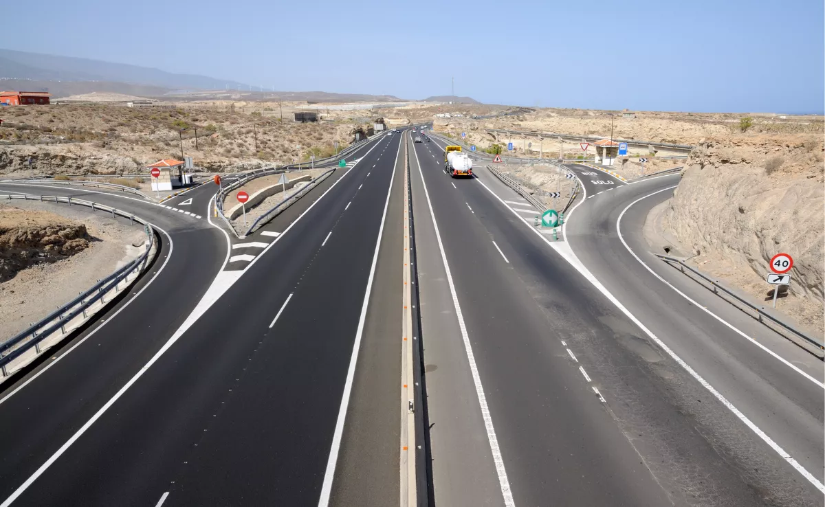
Beyond large infrastructure projects, the plan also includes the creation of a BUS-VAO lane between Guamasa and Los Rodeos Airport. Additionally, upgrades to the TF-5 to improve airport access and the reactivation of the connection between the TF-13 and Mesa Mota through the Gorgorana tunnel will relieve traffic congestion in La Laguna, as reported by the Tenerife Cabildo. Road closures for the insular ring are proposed through the segments from San Juan to Icod, Los Realejos to San Juan, and El Tanque to Santiago del Teide. The island government also plans to improve the route from Erques to Santiago del Teide and will bury the motorway in Adeje to lessen its impact on the densely populated area.
Moreover, “the bus network will be completely restructured to better meet the actual scheduling and needs of the population, offering greater frequency, better coordination between lines, and improved connections with interchanges and other modes of transport,” the government noted.
Assessing the Best Options
The ratification of the plan by the island government will soon initiate the public consultation process for the chosen alternatives. The environmental document that outlined all the options evaluated air pollution, noise pollution, impact on protected spaces, and effects on cultural heritage. It concluded that the best options were those relying solely on “BUS VAO ITS measures.”
In contrast, alternatives that promoted railways and trams were flagged as potentially detrimental to the aforementioned parameters. For instance, regarding air pollution, the document stated that while it was anticipated that the inclusion of railway infrastructure would lower emissions, this would not occur because the railways fail to capture a sufficient number of private vehicles, meaning overall emissions would remain unchanged. As for protected areas, the analysis highlighted the significant impact of road infrastructures; if implemented in totality, they would increase the affected area by 9%, while rail infrastructure would limit the impact to 4.3%. The combination of both types of infrastructure could occupy up to 12.7% of the area.


