Madrid/Santa Cruz de Tenerife, 23 Feb. (Europa Press) –
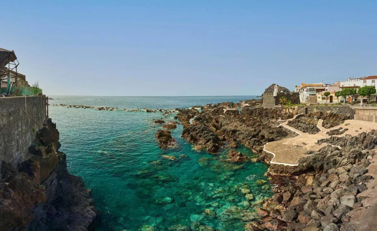
The Canary Islands will commence with partly cloudy skies, apart from intervals of high clouds during the initial part of the day. It is a day where the occurrence of light calima is not excluded, particularly at sunset over the most easterly islands, according to the forecast from the State Meteorological Agency (Aemet).
Temperatures are expected to remain relatively stable, aside from a slight decrease in the minimum readings. Meanwhile, the wind will blow from the moderate northeast, with strong intervals in the northwestern and southeastern slopes of the mountainous islands, less likely in the summits, where very strong gusts may occasionally occur.
In the rest of Spain
An anticyclonic pattern will dominate this Monday across most of the Peninsula and the Balearic Islands, featuring predominantly partly cloudy skies or intervals of high clouds.
However, the arrival of an Atlantic front from the northwest will bring an increase in cloud cover, resulting in overcast conditions in the northwestern quadrant and rain affecting Galicia and the surrounding Cantabrian region. Consequently, Galicia has an active orange warning and a yellow alert for wind. Additionally, Asturias, Cantabria, and the Basque Country have received yellow warnings for waves.
Aemet emphasises that rainfall will be more plentiful, with a chance of it being locally intense and/or persistent in western Galicia, and it is possible that it could eventually impact the northern plateau, the northern Iberian regions, and the high Ebro area. Snowfall may also occur in the Cantabrian mountains at elevations above 1,800-2,000 m.
Mist and morning fog patches are anticipated in the Balearic Islands and along the eastern Peninsular facade, with a possibility of their formation on the northern plateau or the northwestern region near the front.
Regarding temperatures, maxima are set to drop in the northwestern end of the peninsula, with moderate increases expected in Levante, Ebro, Iberian plateaus, and various locations across both plateaus; no significant changes are anticipated elsewhere, apart from some minor increases.
The minimum temperatures are likely to rise in most areas of the country, particularly noticeable in Galicia and the Cantabrian region; however, declines are expected in parts of the Mediterranean and Ebro regions. As a result, frosts will once again be confined to the mountains of the northern half and the southeastern peninsula, which will be moderate in the Pyrenees.
Furthermore, Levante winds will blow in the Strait and Alborán, shifting to Poniente, while predominantly southern and southwestern winds will prevail in Galicia, Cantabria, and the rest of the Mediterranean, with westerly and southwesterly winds in the remaining parts of the Peninsula. Winds will be moderate along the coast and in northern and northwestern areas, particularly in northern Galicia and western Asturias, with strong intervals and very strong gusts.


