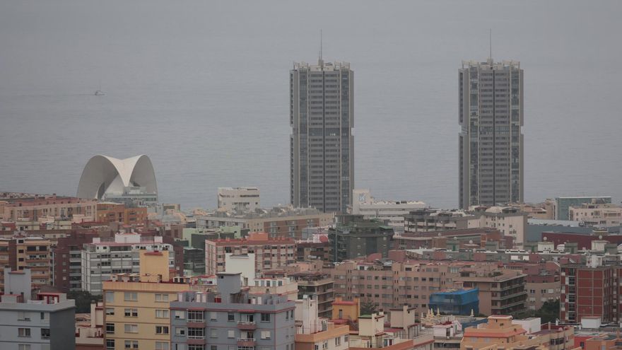
The haze that has affected the Canary Islands this week is likely to begin dissipating from Sunday, with some light to moderate precipitation anticipated, particularly in the western province, while having a lesser impact to the north of Gran Canaria.
This information comes from David Suárez, the territorial delegate in the Canary Islands for the State Meteorological Agency (Aemet), who explained that after a slight improvement in atmospheric conditions regarding suspended dust observed this Friday, a reversal is expected on Saturday with a fresh increase in haze.
“Tomorrow, we will witness a new surge (in suspended dust) coming from the east, and probably, starting from Sunday, there will be a slight reduction,” Suárez articulated.
As the haze clears from the archipelago, rain is expected to arrive, particularly from the afternoon of Sunday and continuing into Monday, more significantly affecting the province of Santa Cruz de Tenerife.
This precipitation could stretch up to the northern Gran Canaria, and is anticipated to remain generally weak to moderate.
In terms of the temperatures, which Aemet has labelled as “unusually high” for this time of year, a decrease is not expected until Monday or Tuesday, when a thermal drop may become evident.
Addressing the peaks experienced in recent days, with maximums exceeding 35 degrees in The Village of San Nicolás (Gran Canaria) this Thursday, David Suárez indicated that while no alerts have been issued regarding record heat events for November, the Aemet will review the data and present its findings in the next quarterly report in December.
A stable December long weekend
As for the forecasts for the upcoming December bridge, Suárez has stated that although it is still premature to speak with certainty, all indications suggest that a stable weather pattern is likely.
“The models suggest that the anticyclone in Azores will be in its typical position from the start of the week, leading to predominantly stable weather for the bridge,” he added.


