
Cloudy skies in the northern part of the islands will persist this Wednesday in the Canary Islands, at least during the first half of the day, as reported by Aemet.
[–>At sea, there will be a north-east wind force 5 or 6 on the southeast and northwest coasts and a north or north-east wind force 3 or 4 elsewhere. Rough to very rough sea. North or north-east swell of 1 to 2 meters. On the southwest coast, variable 1 to 3, breezes, light airs or slight seas.
ISLAND-BY-ISLAND FORECAST FOR THIS WEDNESDAY:
Cloudy or overcast skies turning into partly cloudy in the afternoon. Cloudy skies will return by late hours. Low chance of light and occasional rain in the north, mainly during the first half of the day and in the afternoon. Temperatures with little variation. Moderate north wind with strong gusts in inland areas.
EXPECTED MINIMUM AND MAXIMUM TEMPERATURES (°C): Arrecife 21 25
Cloudy or overcast skies turning into partly cloudy in the afternoon. Low chance of light rain in the north, mainly during the first half of the day and early afternoon. Temperatures with little variation. Moderate north wind with strong gusts in inland areas and south of Jandía.
EXPECTED MINIMUM AND MAXIMUM TEMPERATURES (°C): Puerto del Rosario 21 26
In the north, below 1300 to 1400 meters, cloudy or overcast with some clearings in the afternoon. Elsewhere, clear to partly cloudy with some intervals in the east. Chance of light and occasional rain in the north, mainly in mid-altitude areas. Temperatures with little variation, except for slight decreases in inland areas of the southern slope. Moderate north wind, which will be strong with probable very strong gusts on east and west slopes. Sea breezes prevailing on the southern coasts.
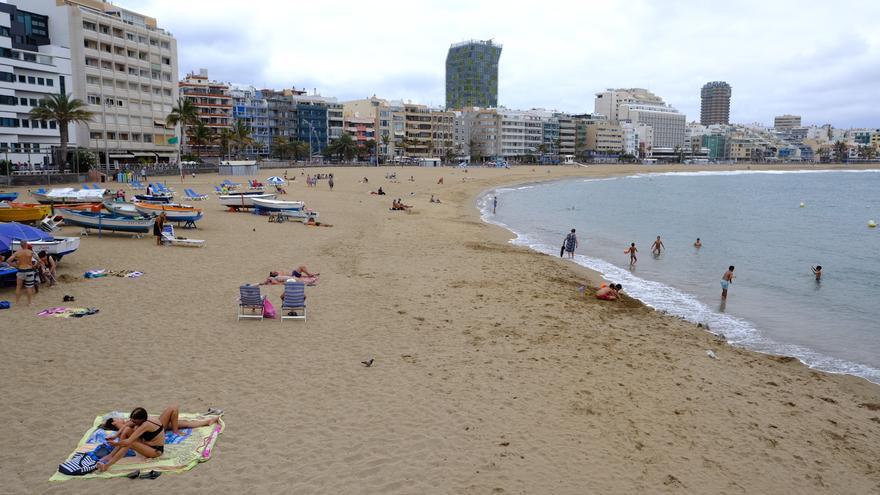
EXPECTED MINIMUM AND MAXIMUM TEMPERATURES (°C): Las Palmas de Gran Canaria 21 24
In the north, below 1400 to 1500 meters, cloudy or overcast turning into partly cloudy in the afternoon. Cloudy skies will return by the end of the day. Elsewhere, partly cloudy turning into mostly clear in the afternoon. Clear skies on central summits. Chance of light and occasional rain in the north, mainly in northeast mid-altitude areas during the first half of the day and in the afternoon. Temperatures with little variation, except for slight decreases in mid-altitude and high areas. Moderate north wind with strong intervals on the northeast and northwest slopes, not ruling out an occasional very strong gust on the southern facade of the metropolitan area and coasts of Güímar in the afternoon. Sea breezes prevailing on western coasts. Light northwest wind on central summits.
EXPECTED MINIMUM AND MAXIMUM TEMPERATURES (°C): Santa Cruz de Tenerife 20 26
In the north, mainly overcast skies turning into partly cloudy in the afternoon. Mostly clear elsewhere, with some morning intervals. Chance of light and occasional rain in the north, mainly in mid-altitude areas. Temperatures with little variation, except for slight decreases in high areas. Moderate northeast wind with strong intervals on the east and northwest slopes, as well as on summits where the occasional very strong gusts are not ruled out. Sea breezes on the southwest coasts.
EXPECTED MINIMUM AND MAXIMUM TEMPERATURES (°C): San Sebastián de La Gomera 21 25
In the north and east, below 1400 to 1500 meters, cloudy or overcast skies turning into partly cloudy in the afternoon. Elsewhere, partly cloudy with intervals of cloudiness during midday hours. Chance of light and occasional rain in the north and east, more likely in northeast mid-altitude areas. Temperatures with little variation, except for slight decreases in high areas. Moderate northeast wind with strong intervals on the far southeast and northwest, where an occasional very strong gust is possible. Sea breezes on western coasts.
EXPECTED MINIMUM AND MAXIMUM TEMPERATURES (°C): Santa Cruz de La Palma 20 23
In the north, overcast skies prevailing with intervals of cloudiness in the afternoon. Mostly clear elsewhere, with intervals of cloudiness during midday hours. Low chance of light and occasional rain in the north, mainly in mid-altitude areas. Temperatures with little variation, except for slight decreases in high areas. Moderate northeast wind with strong intervals on the eastern slope and the western end, where an occasional very strong gust is possible. Sea breezes on the southwest coasts.
Latest Blog Articles


")
