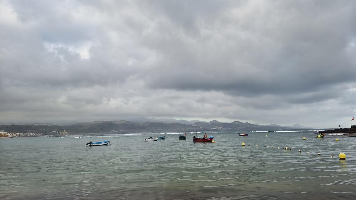
The State Meteorological Agency (Aemet) predicts for this Thursday cloudy intervals in general, with cloudy skies mainly in the early and late hours, when there could be light rain. Temperatures will remain relatively stable.
There will be moderate trade winds with strong intervals on the southeast and northwest slopes, decreasing towards the end of the day, and breezes on the southwest coasts of the mountainous islands.
Regarding sea conditions, it forecasts north and northeast winds of force 4 or 5 and 5 or 6, rough seas and heavy swells, and variable winds of force 1 to 3 on the south and southwest coasts with breezes, smooth or slight swell. A north swell is expected with waves of 1 meter high and a south swell with waves of 1 to 2 meters.
The island-by-island forecast is as follows:
In the north, cloudy with possible light and occasional rains in mid-altitude areas during the early morning and clearing up in the afternoon. In the rest of the areas, partially cloudy with evolving intervals during the central hours. Temperatures with few changes, or with slight increases in maximum temperatures in inland areas. Moderate trade winds with strong intervals on southeast and northwest slopes, decreasing towards the end of the day. Prevailing breeze regime on southwest coasts.
EXPECTED MINIMUM AND MAXIMUM TEMPERATURES (°C):
Cloudy intervals tending to clear during the morning. Temperatures with few changes. Moderate trade winds, with strong intervals in inland areas.
EXPECTED MINIMUM AND MAXIMUM TEMPERATURES (°C):
Arrecife 18 24
[p class=”ft-text”>Partly cloudy intervals during the morning. Temperatures with few changes. Moderate trade winds, with strong intervals south of Jandía.
EXPECTED MINIMUM AND MAXIMUM TEMPERATURES (°C):
Puerto del Rosario 18 23
Cloudy intervals with predominance of cloudy skies in the north at the start and on the west slopes in the afternoon. Chance of light and occasional rains in mid-altitude northeast areas during the early morning. Partly cloudy or clear on central summits. Temperatures with few changes overall, except for slight increases in maximum temperatures in inland areas. Moderate trade winds, slightly stronger on the east slope and northwest tip, and breezes on the west coasts. In central summits, light to moderate northwesterly winds.
EXPECTED MINIMUM AND MAXIMUM TEMPERATURES (°C):
Santa Cruz de Tenerife 19 25
Cloudy intervals with predominance of cloudy skies in the north at the start and on the south slope in the afternoon. Low chance of light and occasional rains in mid-altitude areas of the north during the early morning. Temperatures with few changes. Moderate trade winds, slightly stronger in the eastern and northwestern extremes, with predominant breezes on the southwest coasts.
EXPECTED MINIMUM AND MAXIMUM TEMPERATURES (°C):
San Sebastián de la Gomera 20 24

Cloudy intervals for this Wednesday.
Cloudy intervals in general, with predominance of cloudy skies in the north and east, where occasional light rains are not ruled out, especially in mid-altitudes of the northeast during the early morning where they will be more likely. Temperatures with few changes or slightly rising on summits. Moderate trade winds, stronger on the southeast and northwest extremes, and prevailing breezes on west coasts.
EXPECTED MINIMUM AND MAXIMUM TEMPERATURES (°C):
Santa Cruz de la Palma 19 23
Cloudy intervals with predominance of cloudy skies in the north at the beginning and end of the day, and on the south slope in the afternoon. Low chance of light and occasional rains in mid-altitude areas of the north during the early morning. Temperatures with few changes. Moderate trade winds, stronger in the southeast and northwest extremes, and prevailing breezes on the southwest coasts.
EXPECTED MINIMUM AND MAXIMUM TEMPERATURES (°C):
Valverde 13 19


