
This Sunday, the trade wind is set to blow with very strong gusts in the summits and the southeast and northwest extremes, especially during the latter part of the day, according to Aemet.
At sea, there will be northeast winds of force 5 or 6, occasionally increasing to 7. Rough to very rough seas. Northerly swell of 1 to 2 meters. In the southwest coast, wind will be variable force 1 to 3, with breezes, light airs, or slight seas.
ISLAND-BY-ISLAND FORECAST FOR SUNDAY:
In the north, cloudy intervals, more compact in low areas. Elsewhere, clear skies, with some cloudy intervals in the east, especially towards the end of the day. Temperatures with few changes. Northeast wind with strong gusts and occasional very strong gusts locally, especially during the second half of the day, in summits and southeast and northwest slopes. Sea breezes prevailing on the southwest coasts.
EXPECTED MINIMUM AND MAXIMUM TEMPERATURES (°C):
Las Palmas de Gran Canaria 20 24
Partly cloudy, with mostly clear skies in the southeast. Temperatures with few changes. Trade winds, occasionally strong in the southern interior, and a likelihood of occasional very strong gusts locally during the second half of the day.
EXPECTED MINIMUM AND MAXIMUM TEMPERATURES (°C):
Arrecife 19 25
Clear skies with intervals of low clouds in the north and west in the morning and at sunset. Temperatures with few changes. Trade winds, occasionally strong in the west and south of Jandía, with probable occasional very strong gusts locally during the second half of the day.
EXPECTED MINIMUM AND MAXIMUM TEMPERATURES (°C):
Puerto del Rosario 19 25
Clear skies with intervals of low clouds in the north, prevailing cloudy skies in the northeast. Temperatures rising in high areas and with few changes elsewhere. Trade winds with strong gusts and possible occasional very strong gusts locally in the southeast and northwest extremes during the central hours, sea breezes prevailing on the southwest coasts.
EXPECTED MINIMUM AND MAXIMUM TEMPERATURES (°C):
Santa Cruz de Tenerife 20 27
Cloudy intervals in the north. Clear skies elsewhere. Temperatures with few changes. Trade winds with strong gusts and occasional very strong gusts locally in summits and southeast and northwest slopes, sea breezes prevailing on the southwest coasts.
EXPECTED MINIMUM AND MAXIMUM TEMPERATURES (°C):
San Sebastián de La Gomera 21 25
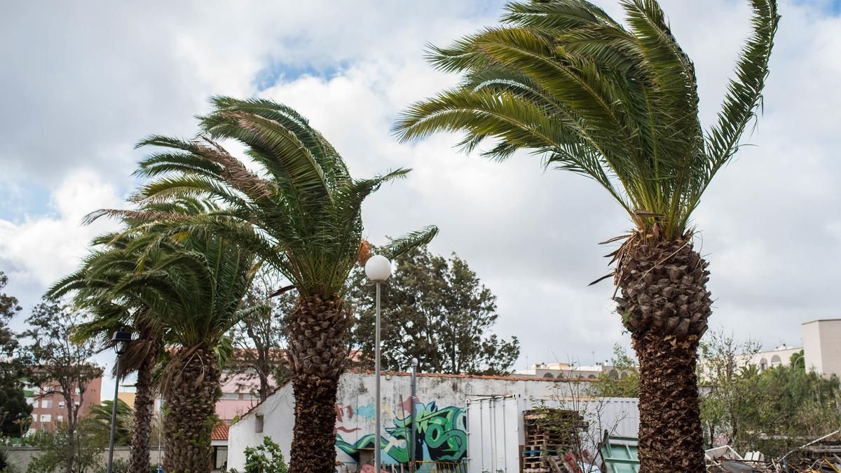
A day of strong winds in the Canary Islands. / LP/DLP
Clear skies with intervals of low clouds in the north and east, prevailing cloudy skies in low areas of the northeast. Temperatures rising in summits and with few changes in other areas. Trade winds with strong gusts and a likelihood of occasional very strong gusts in southeast and northwest extremes, sea breezes prevailing on the western coasts.
EXPECTED MINIMUM AND MAXIMUM TEMPERATURES (°C):
Santa Cruz de La Palma 19 23
Clear skies with mostly cloudy skies in low areas of the north, clearing up during central hours. Temperatures with few changes. Trade winds with strong gusts and probable occasional very strong gusts locally in summits, southeast slopes, and northwest extremes, sea breezes prevailing on the southwest coasts.
EXPECTED MINIMUM AND MAXIMUM TEMPERATURES (°C):
Valverde 14 17


")


