The State Meteorological Agency (Aemet) predicts for this Saturday partly cloudy skies in Lanzarote and Fuerteventura and cloudy skies in the rest, with possible showers, which could turn into showers in Tenerife, decreasing maximum temperatures, and moderate northwest to north winds.
The winds will be locally stronger and on Teide, strong southwestern winds are expected, with occasional very strong gusts.
Regarding the sea conditions, it forecasts west and northeast winds force 2 to 3, 3 or 4, increasing to 5 or 6, slight to moderate sea, increasing to rough sea, and variable force 1 to 3 with calm or slight sea.
A northwest swell is expected with waves of 2 to 3 meters, temporarily increasing from 3 to 4, in the western islands, in the eastern ones it will be from the northwest or north with waves from 1 to 2 meters, increasing to 2 to 3 meters.
The island-by-island forecast is as follows:
[–>
Initially partly cloudy, becoming cloudy during the morning. Expect precipitation, mainly from midday in areas of the northern and eastern slopes, where it could be moderate. Minimum temperatures with little change and decreasing maximums, especially in inland areas. Light to moderate northwest to north winds, increasing in the afternoon, especially in the northeast, east, and west. Sea breezes on the south coast.
EXPECTED MINIMUM AND MAXIMUM TEMPERATURES (°C):
Las Palmas de Gran Canaria 18 23
LANZAROTE
[–>
Intervals of low and high clouds. Minimum temperatures rising and maximums falling, possibly significantly in inland areas. Moderate northwest to north winds, with strong intervals in the south and inland by the afternoon.
EXPECTED MINIMUM AND MAXIMUM TEMPERATURES (°C):
Arrecife 18 26
EXPECTED MINIMUM AND MAXIMUM TEMPERATURES (°C):
Puerto del Rosario 17 26
Jandía 18 26
TENERIFE
PREDICTED MINIMUM AND MAXIMUM TEMPERATURES (°C):
San Sebastián de la Gomera 17 24
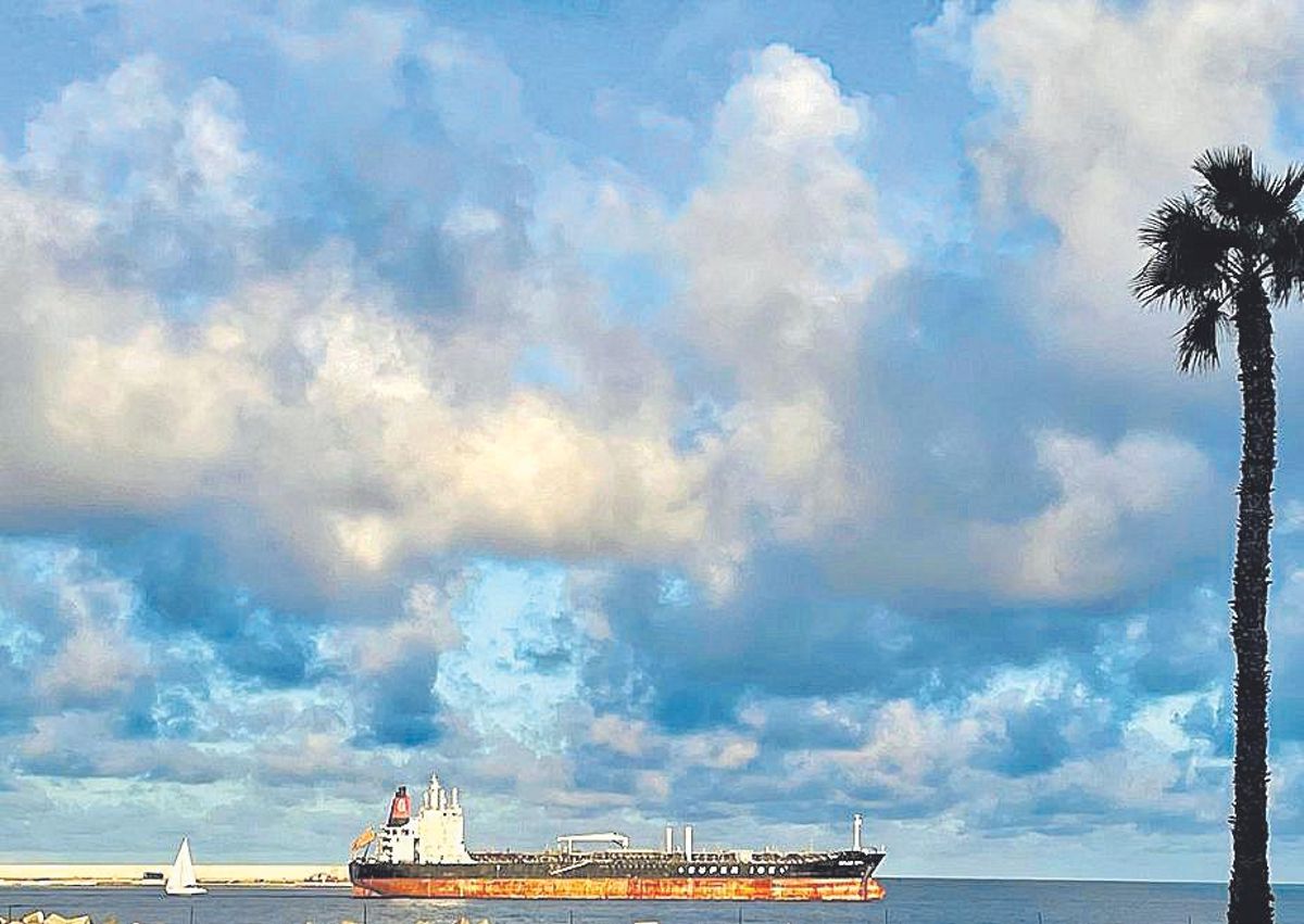
Prediction of overcast skies for this Saturday in the Canary Islands. / LP/DLP
[–>
Mainly cloudy skies, clearing up later in the day. Moderate rainfall is expected, especially in areas on the north and east slopes. Temperatures will decrease, with a notable drop in maximum temperatures in inland areas. Moderate northwest to north winds, stronger in the central hours in the west and northeast slopes. At high peaks, west winds with occasional strong intervals, decreasing and turning to the north during the day. Sea breezes on the southeast coast.
PREDICTED MINIMUM AND MAXIMUM TEMPERATURES (°C):
Santa Cruz de la Palma 17 22
EL HIERRO
[–>
Mainly cloudy skies, clearing up towards the end. Expect rainfall that may be locally moderate, especially during the first half of the day and early afternoon. Minimum temperatures will remain relatively stable, while maximum temperatures will drop. Moderate west winds shifting to northeast throughout the day, potentially becoming stronger locally. Sea breezes on the south coast.
PREDICTED MINIMUM AND MAXIMUM TEMPERATURES (°C):
[–>
Valverde 13 19


")


