Tenerife, the island of eternal spring, is renowned for its pleasant climate and rugged terrain. Apart from the Teide National Park, it is home to two of the seven rural parks in Canary Islands: Anaga and Teno. José Carlos Herrero, a guide and senior technician in Education and Environmental Control, suggests five trails with varying levels of difficulty that he considers essential to explore charming corners while engaging in physical activity.
Circular route through the ridges of Teno Rural Park
[–>
An essential route within the Teno Rural Park. The path holds a lot of history, having once served to uniquely connect Los Bailaderos in Teno Alto with the rest of the island. The views are breathtaking, with green being the predominant color. The trail, spanning nine kilometres and of medium difficulty, starts from El Palmar and gently ascends to Los Pedregales. After crossing several crops, the first part of the route concludes with ease at the Mirador de los Altos del Baracán. To enjoy the best views, one must climb along the same path. This final stretch requires more effort, as it is at a considerable height and, therefore, more demanding.
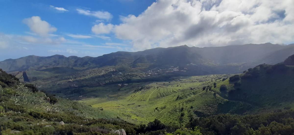
The views along the trail / J. C. Herrero
The route includes the well-known “Fairy Forest”, named after the curious shape of the heathers and the laurel that hide behind the mist typical of that area. The Teno cerrajilla, blue tajinastes, crestagallo, Tenerife bejequillo, and Teno cabezón are some of the endemic species that also add a magical touch. The climate contrasts and different landscapes are part of the charm of this circular route. From the highest point, weather permitting, you can see the North and South slopes. On one side, views of the Caserío de Carrizales and the panoramic of the ravine; on the other, the El Palmar valley.
Ascent to Roque del Conde
[–>
According to the guide José Carlos Herrero, Roque del Conde is one of the main attractions in the southern area. The trail, of medium difficulty, starts from the base of the Roque and reaches the summit at 1,001 meters above sea level. The route spans 2.5 kilometres, taking around two hours. There is an option to take a circular route, which would require about four hours.
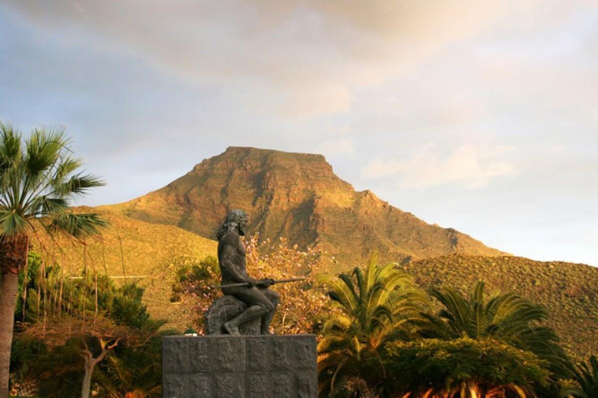
Roque del Conde / Ayuntamiento de Adeje
The route starts in the Vento neighbourhood, in the municipality of Arona, and shares a path with the trail leading to the village of Ifonche. To begin the ascent, you must first cross two ravines. It is crucial to check for any rainfall forecasts before planning the visit, as in that case, the ravines could carry water and make it challenging to cross. From the highest point, you can see six municipalities in the south: Adeje, Arona, San Miguel, Granadilla de Abona, part of Guía de Isora, and Santiago del Teide.
Roque del Conde is also known as Roque de Ichasagua, after the mencey who resisted invaders several years after the conquest of Tenerife. The path traverses the ancient terraces of El Tablero, formerly dedicated to cereal cultivation. Its location makes it a special trail, as the vegetation and views are radically different compared to greener and wetter areas like Teno and Anaga.
Afur – Taganana Ravine Trail
[–>
Hidden in the Anaga Rural Park, this trail connects two villages in the area through a ravine. The trail’s difficulty is moderate and can be done one-way or in a circular manner. If starting from Afur and returning to the same point, the estimated time is seven hours covering a distance of 14.3 kilometres. Observing the imposing cliffs protecting the coast of Taganana is one of the main highlights of this trail.
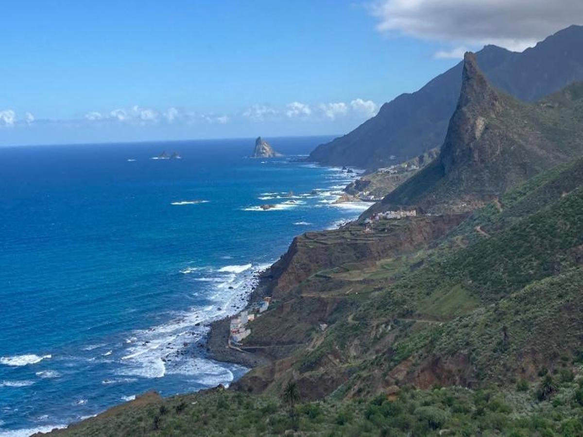
The stunning coastal views from Caserío del Chorro / Claudia Morín
The journey begins in the square of Afur and descends through the ravine of the same name until almost reaching Tamadite beach. From here, the trail ascends to Caserío del Chorro and the village of Taganana. If you wish to return to Afur, it is highly recommended to continue through the winding path to the forest house and return to Afur through the Inchirés path. Another option is to end at Roque de Las Bodegas beach and enjoy a swim or a delicious meal by the beach.
Circular route to Chinyero volcano
[–>
The easiest on the list, although according to the guide, it is also of medium difficulty. Unlike the first ones, it is practically flat. Its route allows you to discover the last volcano to erupt in Tenerife, located in Santiago del Teide. The start of the trail is located at KM 15 of the road that goes from Cañadas del Teide to Chio (TF-38). The path runs for eight kilometres through pine forests and volcanic ash, in the Special Natural Reserve of Chinyero. The landscape combines the greenery of the vegetation with the blackness of the earth, always under the watchful gaze of Teide.
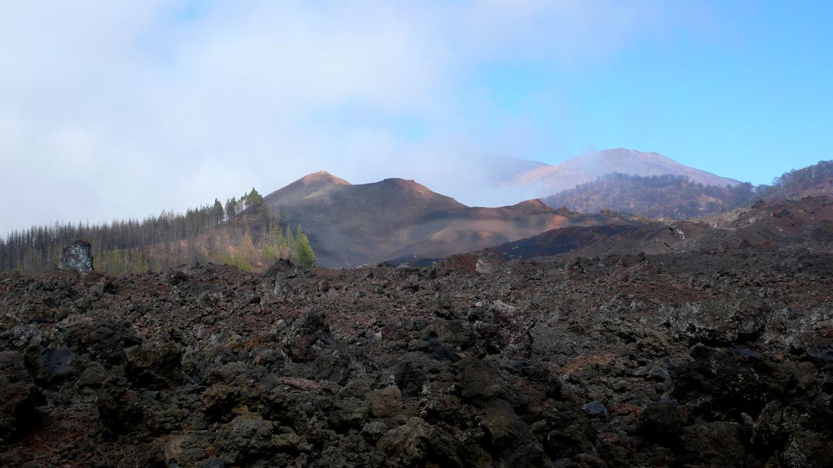
Chinyero Volcano / Wikipedia
Pico Viejo Trail
[–>
Located in the Teide National Park, the Pico Viejo trail is the most complex of the five. It starts from the interpretative table of Pico Viejo Viewpoint and ends at the crater, at the Las Narices del Teide Viewpoint. The medieval flows that came out of the volcano during its last summit eruption are the protagonists of the landscape along the trail. Once at the crater, with a diameter of 800 metres, it is possible to observe the eruptive vents of Las Narices.
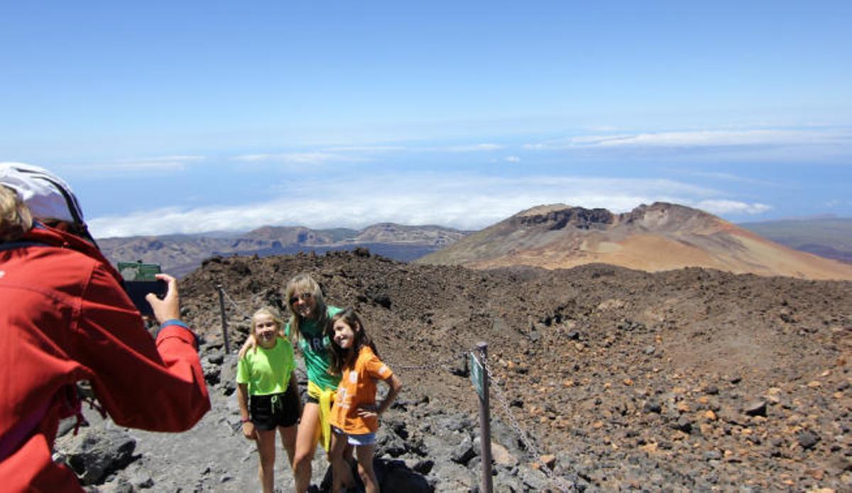
The trail ends at the Pico Viejo viewpoint, where you can see various craters and all the islands of the Tenerife province. / El Día
The well-known altitude sickness, caused by reduced atmospheric pressure, is one of the main challenges to overcome on this trail. Its altitude is considerable, specifically, starting at 2,048 meters and reaching a maximum height of 3,948 meters. Although no authorization is required and with a relatively short route of 9.3 kilometres, a small distance, its level of difficulty is high because a considerable level of fitness is needed to walk at such a height.
[–>
Key Recommendations
[–>
For those starting in hiking, it is essential to set long-term goals and achieve optimal physical condition. The guide recommends starting, for example, with circular routes that are often simpler, with few kilometres and little positive slope, i.e., without accumulating too many metres of ascent. “Before heading out on any trail, it is necessary to check the weather and get well informed about the area’s peculiarities,” thus recalling some of the key recommendations for those who are encouraged to go on an excursion.


