
The haze will persist this Tuesday until midday, especially in the southern part of the islands, but it will tend to clear during the afternoon, according to the Spanish State Meteorological Agency (Aemet).
At sea, there will be variable winds of force 1 to 4, except southeast 3 to 5 on the west coast and extreme south in the afternoon, northeast 3 to 5 offshore in the northwest in the early hours and 2 to 4 in the southeast from night.
Slight to moderate swell decreasing to slight or slight to moderate on the west coast and extreme south, slight or slight to moderate elsewhere, increasing to moderate offshore in the north and extreme northeast. Northerly swell 1 metre increasing to 2. Haze
ISLANDS FORECAST FOR TUESDAY:
Generally clear with intervals of high clouds. Haze, which will diminish at the end of the day. Temperatures with few changes. Moderate southeast wind, with some strong intervals on northeast and southwest slopes during the morning, slightly easing and turning east in the afternoon.
EXPECTED MINIMUM AND MAXIMUM TEMPERATURES (°C):
Las Palmas de Gran Canaria 17 24
Generally clear with intervals of high clouds. Haze, which will diminish at the end of the day. Maximum temperatures slightly rising and minimums with few changes. Moderate east wind, with intervals of strong wind during the morning in inland areas and on the west slope, easing slightly and turning northeast in the afternoon.
EXPECTED MINIMUM AND MAXIMUM TEMPERATURES (°C):
Arrecife 16 22
Generally clear with intervals of high clouds. Haze, which will diminish at the end of the day. Temperatures with few changes. Moderate east wind, with intervals of strong wind during the morning in inland areas and on the west slope, easing slightly and turning northeast in the afternoon.
EXPECTED MINIMUM AND MAXIMUM TEMPERATURES (°C):
Puerto del Rosario 17 22
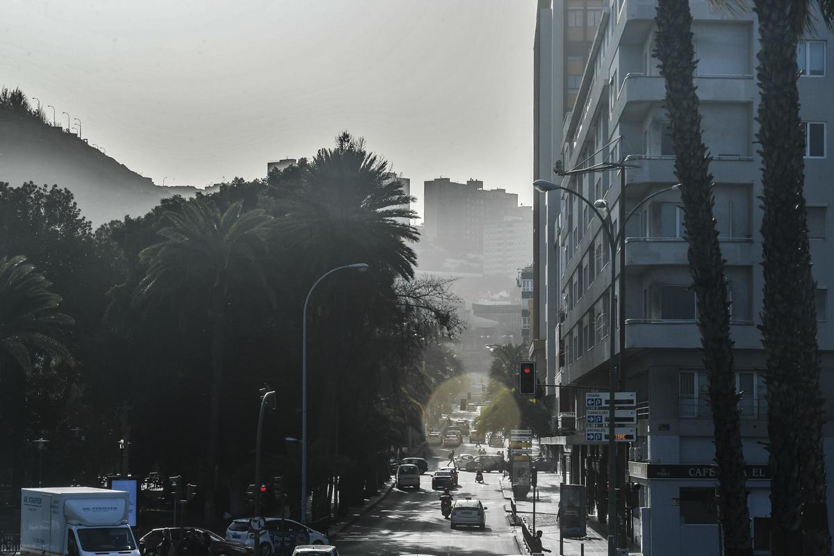
Weather with haze in the southeast of Gran Canaria (01/25/24) / Juan Castro
Generally clear with intervals of high clouds during the first half of the day. Haze, more significant on the southern slopes and during the first half of the day. Temperatures with few changes. Light to moderate east wind, with some stronger intervals during the central hours on the south slope and in the early and late hours in the north of Anaga. Sea breezes on the northwest coast.
EXPECTED MINIMUM AND MAXIMUM TEMPERATURES (°C):
Santa Cruz de Tenerife 17 24
Generally clear with intervals of high clouds during the first half of the day. Haze, more significant on the south slope and during the first half of the day. Temperatures with few changes. Light variable wind during the early hours, intensifying to moderate southeast during the central hours with some stronger intervals on peaks and northeast and southwest slopes, and easing slightly at the end of the day.
EXPECTED MINIMUM AND MAXIMUM TEMPERATURES (°C):
San Sebastián de La Gomera 17 24
EXPECTED MINIMUM AND MAXIMUM TEMPERATURES (°C):
Santa Cruz de La Palma 14 25
Generally clear with intervals of high clouds during the first half of the day. Haze, more significant on the southern slopes. Temperatures with few changes. Moderate east wind, with some stronger intervals on the extreme south and northwest slope.
EXPECTED MINIMUM AND MAXIMUM TEMPERATURES (°C):
Valverde 15 18


")


