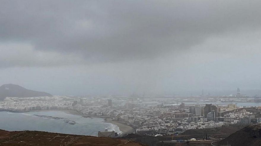
Cloudy intervals will predominate early this Monday in Canary Islandswhile in the afternoon large clearings will open, according to the forecast of the Meteorology Statal Agency (Aemet).
In the sea there will be northeast 3 to 5. Marejadilla or swell. In the southwest and northeast near the coast, variable 1 to 3 and rippled or swell. Northern swell of 1 to 2 meters, reports Efe.
FORECAST BY ISLANDS FOR THIS MONDAY:
LANZAROTE
Cloudy intervals with a predominance of slightly cloudy skies with some intervals of high clouds during the afternoon. Temperatures with few changes, with some slight rise in the maximums and some slight decrease in the minimums. Light wind from the north tending to moderate northeast during the day. Breezes on southern coasts.
FORECAST MINIMUM AND MAXIMUM TEMPERATURES (°C):
Reef 20 29
FUERTEVENTURA
Cloudy intervals tending during the morning to slightly cloudy with some intervals of high clouds. Maximum temperatures with few changes and minimum temperatures with a slight decrease. Light wind from the north tending to moderate northeast during the day, with breezes on the south coast.
FORECAST MINIMUM AND MAXIMUM TEMPERATURES (°C):
Puerto del Rosario 21 28
GRAN CANARIA
In the north, cloudy intervals with a predominance of slightly cloudy skies in the afternoon. The rest is slightly cloudy, with some intervals of high clouds. Temperatures with few changes, with some slight rise in the maximums in high areas and some slight decrease in the minimums. Moderate wind from the northeast, with strong intervals on the southeastern slope and extreme west in the second half of the day. On summits, weak with a predominance of the northern component. Breezes on southwest coasts.
FORECAST MINIMUM AND MAXIMUM TEMPERATURES (°C):
The Gran Canarian palms 22 27
TENERIFE
In the north, cloudy intervals with a predominance of slightly cloudy skies during the afternoon. In the rest, slightly cloudy with morning intervals and with some high clouds. Temperatures with few changes, except for slight increases in maximum temperatures in high areas. Light to moderate wind from the northeast, with strong intervals at the end of the day on the eastern slope of the metropolitan area, on the southeastern slope and in the extreme northwest. Breezes on north and west coasts. On central summits, variable light wind predominating at the end of the day from the moderate southwest.
FORECAST MINIMUM AND MAXIMUM TEMPERATURES (°C):
Santa Cruz de Tenerife 23 29
LA GOMERA
In the north, cloudy intervals with a predominance of slightly cloudy skies in the afternoon. In the rest of the areas, slightly cloudy. Temperatures with few changes, with some slight rise in maximum temperatures on summits. Light to moderate wind from the northeast, with some strong intervals during the second half of the day in the extreme east and west. Breezes on southwest coasts.
FORECAST MINIMUM AND MAXIMUM TEMPERATURES (°C):
San Sebastian de La Gomera 24 29
THE PALM
In the north and east, cloudy intervals with a predominance of slightly cloudy skies during the afternoon. In the west, slightly cloudy with morning intervals. Minimum temperatures without changes, and maximum temperatures in a slight rise that will be more pronounced on the summits. Light to moderate wind from the northeast, with some strong intervals in the extreme northwest and on the southeast slope. Breezes on the west coast.
FORECAST MINIMUM AND MAXIMUM TEMPERATURES (°C):
Santa Cruz de La Palma 20 28
THE IRON
In the north, cloudy intervals with a predominance of slightly cloudy skies during the afternoon. In the rest of the areas little cloudy. Temperatures with few changes or slightly rising. Moderate wind from the northeast, with strong intervals on the southeastern slope and in the El Golfo area. Breezes on the southwest coast.
FORECAST MINIMUM AND MAXIMUM TEMPERATURES (°C):
Valverde 19 23


