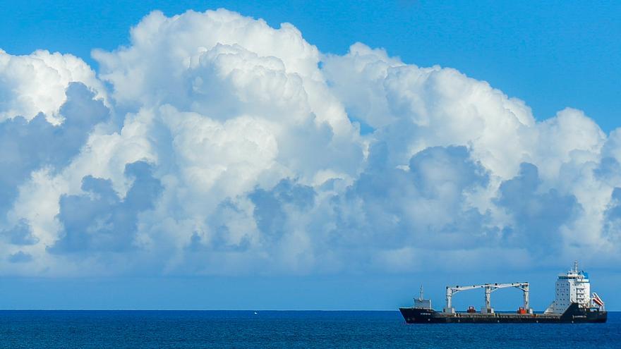
The State Meteorological Agency (Aemet) announce for this saturday little cloudy or clear skieswith cloudy intervals in the north of the islands of greater relief in the early and late hours, rising maximum temperatures and northeasterly windexcept in high areas, where it will be loose with variable direction.
Regarding the state of the sea, there will be a northeasterly wind of force 5 or 6, storm surge or strong storm surge, and variable 1 to 3 on west and southwestern coasts with rippled seas or swells. North and northeast component swell is expected with waves 1 to 2 meters.
The forecast by islands is as follows:
Slightly cloudy or clear, with cloudy intervals in the north in the early and late hours. Cloudy skies could predominate on this slope at the end of the day. Minimum temperatures with few changes and maximum temperatures slightly rising, being more pronounced in inland areas. Northeast wind, with some occasional strong intervals on the southeast and northwest slopes, as well as on the western tip. In summits, light wind of variable direction. Breezes on the southwest coast.
FORECAST MINIMUM AND MAXIMUM TEMPERATURES (°C):
Las Palmas de Gran Canaria 18 23
Slightly cloudy or clear, with some cloudy intervals in the north in the early and late hours. Maximum temperatures slightly rising and minimums with few changes. Northeast wind, more intense in inland areas during the early morning.
FORECAST MINIMUM AND MAXIMUM TEMPERATURES (°C):
reef 17 27
Slightly cloudy or clear, without ruling out some cloudy intervals in the east in the early and late hours. Minimum temperatures with few changes and maximum temperatures slightly rising, and may be more pronounced in interior areas. Northeast wind, occasionally more intense on the southern slope of Jandíaespecially at the end of the day.
FORECAST MINIMUM AND MAXIMUM TEMPERATURES (°C):
Puerto del Rosario 18 24
Slightly cloudy or clear, with cloudy intervals in the north and northeast in the early and late hours. Cloudy skies could predominate in the northeast at the end of the day. Minimum temperatures with few changes and maximum temperatures slightly rising, which could be locally somewhat more pronounced, especially in the northeastern midlands. Northeast wind, more intense occasionally in low areas of the southeast slope and in the extreme northwest. In central summits, light to moderate wind from the south component. Breezes on the west coast.
FORECAST MINIMUM AND MAXIMUM TEMPERATURES (°C):
Santa Cruz de Tenerife 19 25
Slightly cloudy or clear, with cloudy intervals in the north in the early and late hours. Temperatures with few changes, except for a slight increase in the maximum in the north. Northeast wind, more intense on the east and northwest slopes, where there could be an occasional strong interval. In summits, light wind of variable direction. Breezes on the south coast.
FORECAST MINIMUM AND MAXIMUM TEMPERATURES (°C):
San Sebastian de la Gomera 19 24
Slightly cloudy or clear, with cloudy intervals in the north and east in the early and late hours. Cloudy skies could predominate on these slopes at the end of the day. Temperatures with few changes, except for a slight increase in the maximum in the east. Northeast wind, more intense in low areas of the southeast and northwest slopes, where there could be some strong intervals during the first half of the day. In summits, light wind of variable direction. Breezes on the northeast and west coasts.
FORECAST MINIMUM AND MAXIMUM TEMPERATURES (°C):
Santa Cruz de la Palma 18 23
Slightly cloudy or clear, with cloudy intervals in the north in the early and late hours. Temperatures with few changes, except for a slight increase in the maximum in the northeast, where it could be locally somewhat more pronounced. Northeast wind, more intense in low areas of the southeast slope and in the extreme northwest, especially during the first half of the day. In summits, light wind of variable direction. Breezes on the southwest coast.
FORECAST MINIMUM AND MAXIMUM TEMPERATURES (°C):
Valverde 13 18


