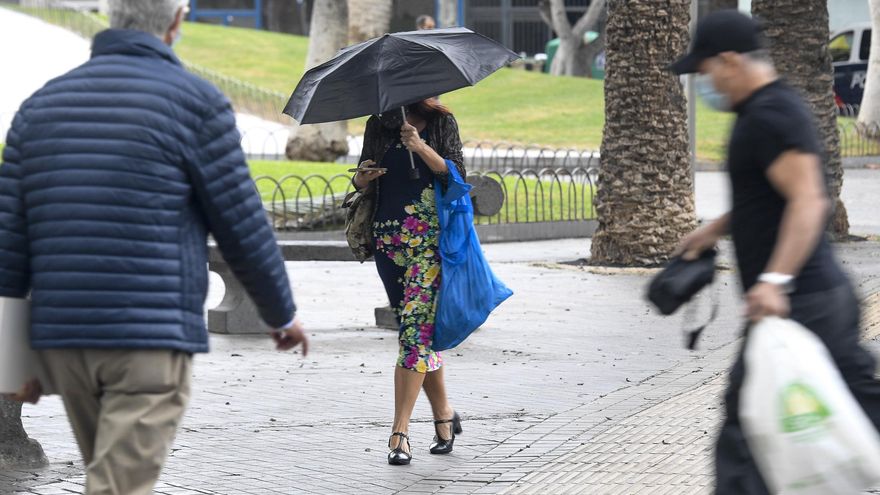
The Meteorology Statal Agency (Aemet) has activated a yellow warning (pre-alert) for precipitation accumulated in one hour for all the islands of the Archipelago after updating the initial forecast for Tenerife and La Palma Given the forecast of heavy rains today, Monday, due to the presence of a DANA in the Canary Islands. The effects of this Upper Level Isolated Depression (DANA), also known as cold drop, began to be noticed on Sunday in Gran Canaria and in the South of Tenerife.
The yellow warning has come into force at 10:30 a.m. today and will last until 8:59 p.m. In Tenerife the rains will affect both the North, East, West and South of the Island, as well as the Metropolitan Area. Both on this island and on La Palma, an accumulated rainfall of about 15 millimeters is expected in one hour. Locally strong showers will be more likely in inland areas of the eastern and southern slopes.
In The Palm, the rainfall will affect the Summits, the East and the West of the Island. The yellow warning will come into force at 6:00 in the morning and will end at 8:59 p.m. In the case of Gran Canaria It will affect the north, east, west and south of the island.
The warning will be extended to all of the islands Lanzarote, Fuerteventura, La Gomera Y The iron.
During the afternoon of yesterday, Sunday, the effects of DANA began to be felt in some municipalities in the south of Tenerife, such as Fasnia and Granadilla, and on the island of Gran Canaria, above all, in the coastal towns of Ojos de Garza and Tufia (Telde).
At least until this Wednesday, September 21, rains of various kinds are expected in the Canary Islands, according to the forecast of the Meteorology Statal Agency (AEMET) for this week.
TIME FOR TUESDAY AND WEDNESDAY
Tomorrow, Tuesdayin Lanzarote and Fuerteventurathere will be cloudy intervals, predominantly cloudy skies in central hours, with low probability of light and occasional rains. On the islands with greater relief, cloudy intervals tending to cloudy from midday, with occasional weak to moderate rains, mainly in inland areas. It is not ruled out that locally they could be somewhat more intense and in the form of a shower.
Temperatures will experience little change and the wind will be light from the northeast, increasing slightly in the afternoon. In summits, light wind of variable direction.
In the wednesday forecast the Aemet contemplates a predominance of slightly cloudy skies in the southern half of the islands. In addition, it includes low probability of weak and occasional rains in the north of the islands of greater reliefmainly in the early hours.
The temperatures will be slightly rising, without ruling out that it will be somewhat more pronounced in the maximum interior areas.
The wind will blow from the northeast, more intense on the southeast and northwest slopes. In high areas, light wind with a predominance of the north component, except in the central peaks of Tenerife, where it will be from the southwest.


