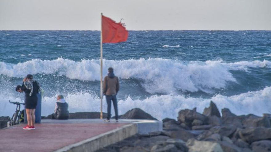
A time more typical of February, with cool temperatures, and even a possible frost on the summit of Gran Canaria as well as the fall of precipitation in the form of snow on the islands of Tenerife and La Palma, above 2,000 meters, are the forecasts of the Meteorology Statal Agency (Aemet) for today’s Monday. After several weeks with a very warm atmosphere in which the haze has been the main protagonist, both in terms of time and intensity, the Atlantic front that has crossed the northwest of the islands combined with the presence of a Dana to the north of the Archipelago has caused a drop in the thermometer and, although it has brought some rains, for now, they will continue to be very weak.
As announced, the wind blew strongly yesterday and gusts of up to 95 kilometers per hour were reached in Izaña (Tenerife) and it was also intense in Tejeda where the speed reached up to 77 kilometers. These gusts caused the detachment of a wall that closed the road from Espartero, in Teror, to Pino Santo to truck traffic and the fall of a stone on a house in Guayadeque. For the same reason, the company Binter Canarias was forced to cancel two flights, one from Tenerife North to La Gomera and another from this island to the airport in the north of Tenerife. For today, the Aemet maintains the yellow warning for wind in the western islands, where the gusts can reach 70 kilometers.
Since yesterday, Sunday, that drop in temperatures was already felt with 3.1 below zero in El Teide, compared to 1.6 in Llanos de la Pez and 2.9 in Cruz de Tejeda, although the maximum reached 24.3 , from Tazacorte, in La Palma, and the 22, 3 from La Aldea de San Nicolás in Gran Canaria. But what does not end up arriving are the rains. The records of the Aemet highlighted that where more water had fallen was in Los Llanos de la Pez with 12.6 liters in the last twenty-four hours, followed by Tejeda 11 liters, and San Juan de La Rambla, in Tenerife, with 10 liters.


