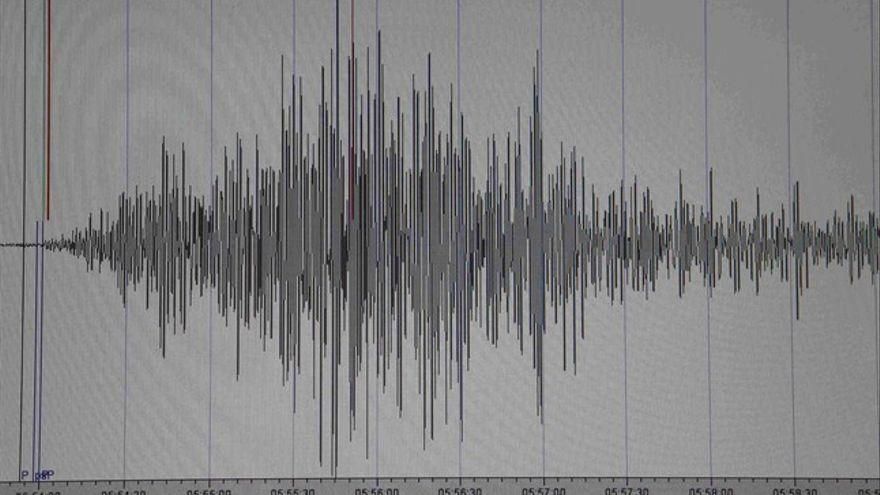
The National Geographic Institute (IGN) located on Saturday night a magnitude 4 earthquake in the ocean, between the islands of Gran Canaria Y Fuerteventura, six kilometers deep, with no record that it was felt by the population.
This has been the earthquake of greater magnitude of how many have been registered in the Canary Archipelago in the last 24 hours, the majority located in the subsoil of La Palma in the same areas of the eruptive process in Cumbre Vieja.
All the tremors of the last 24 hours have had a magnitude less than 2 except for one located west of El Hierro (2.1) at a depth of 37 kilometers, and another in Mazo, La Palma, (2.1) at 13 kilometers .
In the last few hours, the IGN has also located an earthquake in El Pinar de El Hierro, and another five in the ocean: one to the north of Tenerife, another to the southeast of Gran Canaria and three in the area of the Enmedio volcano, between Tenerife and Gran Canaria.


