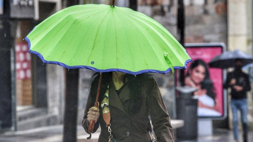
180 degree turn in time in the Canary Islands. Christmas had brought to the Islands a general rise in temperatures and a predominance of clear skies. Now the Magi will bring weak and moderate rainfall and cloudiness to the environment of the Archipelago. A more typical meteorological tonic at this time of year. The State Meteorological Agency (AEMET) predicts that it will last until next January 8.
This Wednesday, January 5, starting in the afternoon, the Canarian skies will turn gray due to the arrival of a front from the north, from Madeira, which will leave rainfall in Gran Canaria and all the western islands.
According to the model European prediction (ECMWF) in The Gran Canarian palms, the rainfall will arrive on Wednesday, January 5, with a 70% probability in the central hours of the day, when a total accumulation of 1.8 millimeters is expected. Temperatures will range between 17 and 20 degrees. Already on Thursday, weak rains are expected throughout the day, most likely overnight. Temperatures will not change. On Friday the rainfall will continue until late afternoon.
The model draw precipitation all over the island, except on the southwest slope.
The wind in both capitals will blow from the northeast.
There will also be rainfall in The Palm, The iron Y La Gomera both the eve and the Kings Day, especially on La Palma and El Hierro, some rains that will persist and even intensify during Friday. Already on Saturday, the rainfall will be concentrated on La Palma, to a greater extent on its eastern slope.
FORECAST BY ISLANDS FOR THIS THURSDAY:
TENERIFE
In the north, cloudy to overcast, while in the west there will be cloudy intervals, more abundant in the afternoon.
In the east, slightly cloudy alternating with some cloudy intervals. In central peaks, above about 1800 meters, clear.
Low probability of light rains in the north and high probability in the northeast in the evening. Temperatures with few changes or slightly higher than the minimum.
Northeast wind, more intense in the extreme northwest and on the southeast slope, where strong intervals are expected. Breezes on south-west facing coasts.
MINIMUM AND MAXIMUM EXPECTED TEMPERATURES (° C): Santa Cruz de Tenerife 16 21
LA GOMERA
In the north, cloudy to covered, with a low probability of light rains, increasing to very likely in the afternoon-night, while in the south there will be cloudy intervals.
Temperatures with few changes or slightly higher than the minimum.
North wind, more intense in the extreme northwest, east and on summits, where very strong intervals are expected, especially at the end of the day. Brisas on the south coast.
MINIMUM AND MAXIMUM EXPECTED TEMPERATURES (° C): San Sebastián de la Gomera 18 22
THE PALM
In the north and east, cloudy to overcast, with a low probability of light rains, increasing to very probable in the afternoon-night.
Temperatures with few changes or slightly higher than the minimum.
Northeast wind, more intense in the extreme northwest and on the southeast slope, as well as in the El Paso area, where very strong intervals are expected. Breezes on south-west facing coasts.
MINIMUM AND MAXIMUM EXPECTED TEMPERATURES (° C): Santa Cruz de la Palma 18 20
THE IRON
Cloudy intervals, alternating with clearings in the southwest.
Low probability of light rains in the north, increasing to probable in the afternoon-night.
Temperatures with few changes or slightly higher than the minimum. Northeast wind, more intense on the northwest and southeast slopes, as well as on peaks, where very strong intervals are expected, especially at the end of the day. Breezes on the southwest coast.
MINIMUM AND MAXIMUM EXPECTED TEMPERATURES (° C): Valverde 12 16
LANZAROTE
Predominance of cloudy skies and low probability of drizzle in the north.
Temperatures with few changes or a slight rise from the minimum, moderate to strong northeast wind, more intense in La Graciosa and in inland areas where very strong intervals at the end of the day are not ruled out.
EXPECTED MINIMUM AND MAXIMUM TEMPERATURES (° C): Arrecife 15 22
FUERTEVENTURA
Predominance of cloudy skies and temperatures with few changes or a slight rise from the minimum.
Moderate to strong northeast wind, more intense in inland areas and south of the Jandía Peninsula, where very strong intervals at the end of the day are not ruled out.
MINIMUM AND MAXIMUM EXPECTED TEMPERATURES (° C): Puerto del Rosario 16 21
GRAN CANARIA
In the north and east, cloudy under cover. In the south, slightly cloudy to clear, alternating with some cloudy intervals.
Low probability of occasional light rains in the north and east, except in the interior, where it will be probable to very probable in the afternoon-night.
Temperatures with few changes or a slight rise from the minimum, and northeast wind, more intense on the peaks and on the northwest and southeast slopes, where strong intervals are expected, as well as breezes on the southwest coast.
MINIMUM AND MAXIMUM EXPECTED TEMPERATURES (° C): Las Palmas de Gran Canaria 17 21


